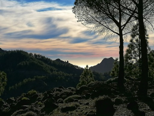
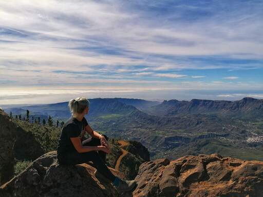
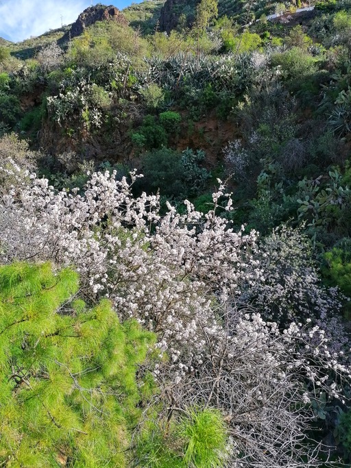
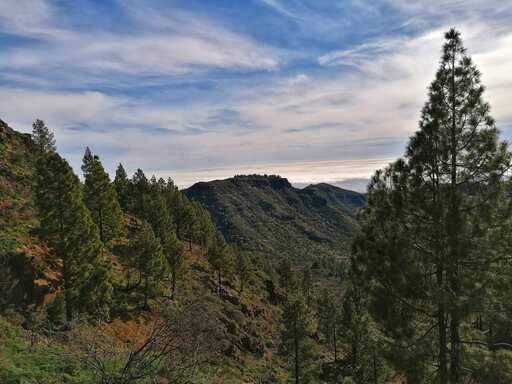
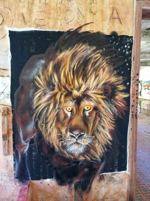
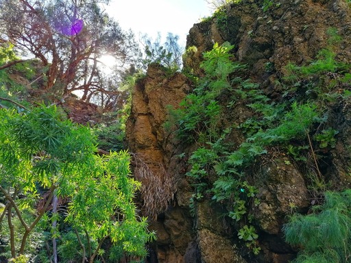
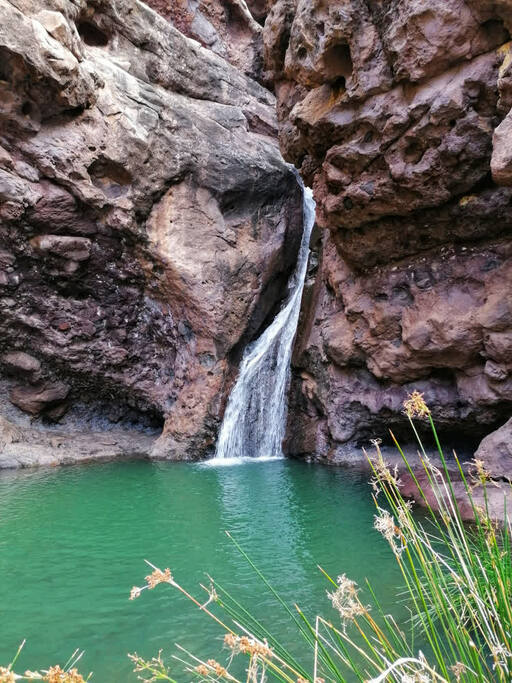
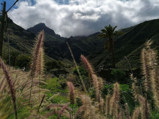
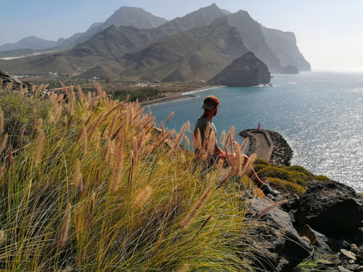
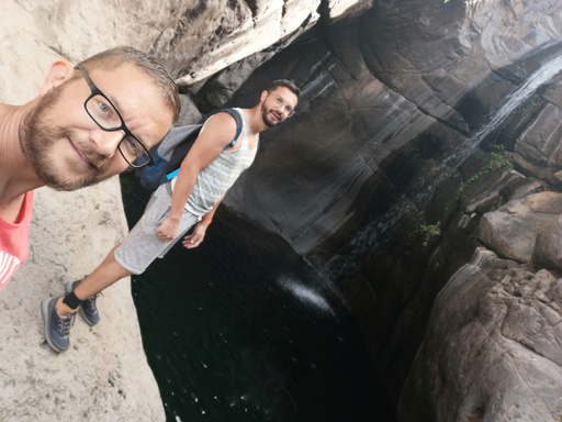
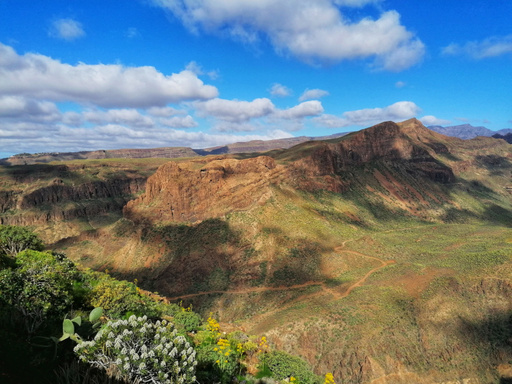
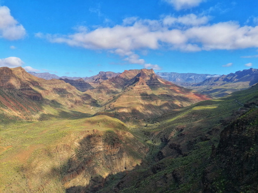
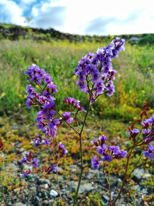
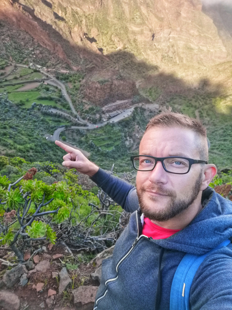
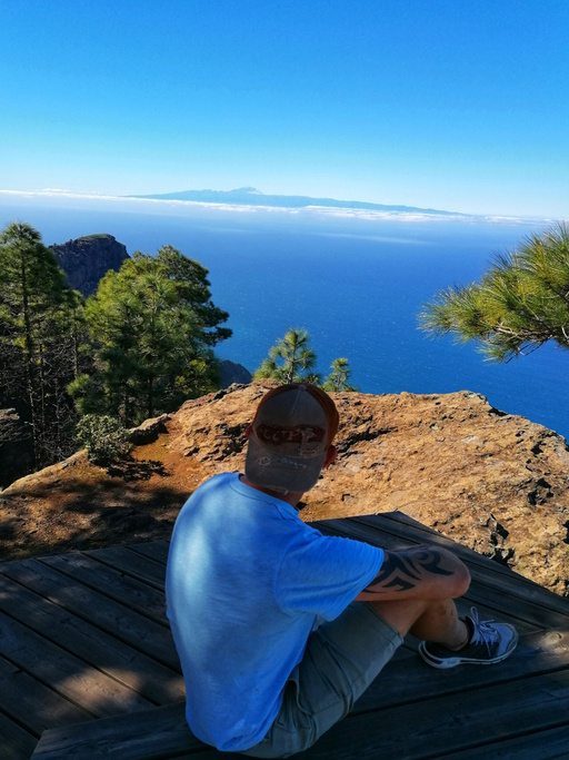
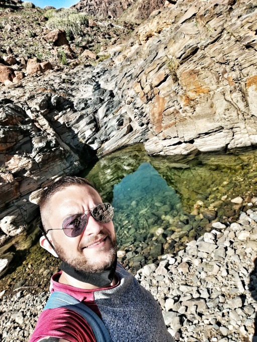
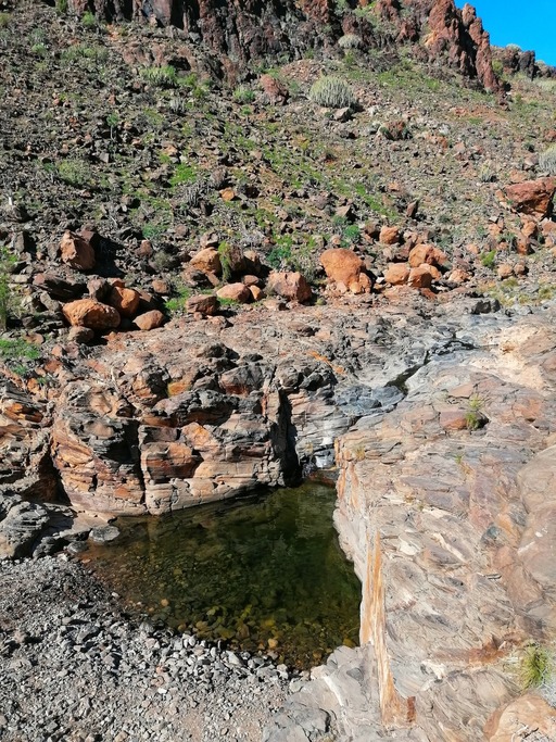
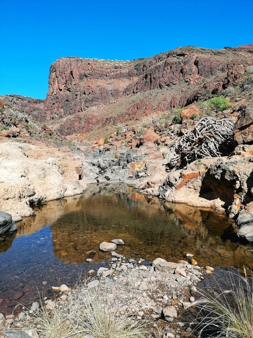
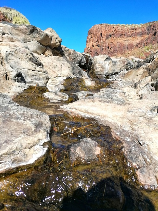
my adventures

Follow my adventures exploring this paradise island.
Location Gran Canaria

Gran Canaria

27°57′31″N 15°35′33″O
Location San Bartolomé de Tirajana

San Bartolomé de Tirajana

27°55′32″N 15°34′21″O
Location Santa Lucía de Tirajana

Santa Lucía de Tirajana

27°54′44″N 15°32′26″O
Location Arucas

Arucas

28°07′06″N 15°31′24″O
Ingenio

Ingenio

27°55′17″N 15°25′57″O
tejeda

Tejeda

27°59′51″N 15°36′50″O
moya

moya

28°06′39″N 15°35′00″O
firgas

firgas

28°06′N 15°33′O
agaete

agaete

28°06′06″N 15°42′03″O
la aldea de san nicolás

la aldea de san nicolás

27°58′57″N 15°46′48″O
agüimes

agüimes

27°53′00″N 15°26′00″O
Presa del Pinto Presa del Pinto Presa del Pinto Presa del Pinto Presa del Pinto Presa del Pinto Presa del Pinto Presa del Pinto Presa del Pinto Presa del Pinto Presa del Pinto
presa del pinto
arucas
5 1.5

This reservoir is located in the north of the island and has a beautiful walk (approximately 1 h) around it taking you along a footpath into a wooded area. Plenty of trees and plants to make the walk that little bit more special. You can cross over the dam at the other end and make your way down along a footpath. To access the presa take the GC-300 and you will see the turning at Barranco de los Bañaderos.

Presa de Tirajana -  La Sorrueda Presa de Tirajana -  La Sorrueda Presa de Tirajana -  La Sorrueda Presa de Tirajana -  La Sorrueda Presa de Tirajana -  La Sorrueda Presa de Tirajana -  La Sorrueda Presa de Tirajana -  La Sorrueda Presa de Tirajana -  La Sorrueda Presa de Tirajana -  La Sorrueda Presa de Tirajana -  La Sorrueda Presa de Tirajana -  La Sorrueda Presa de Tirajana -  La Sorrueda
Presa de Tirajana - La Sorrueda
santa lucía de tirajana
10 2.5

Located in the Santa Lucia region this presa sits in Barranco de Tirajana. Take the winding road down from Mirador de la Sorrueda (where I parked my car) into the valley bottom. From here you can walk the track through Barranco de Tirajana. There is a gravel road along the barranco which gives access to fincas and electrical sub stations. The walk is surrounded by imposing cliff walls towering above you. Numerous caves and side valleys all leading into the ravine. The views are stunning and the walk is easy. Well worth a visit if you want an easy walk with dramatic scenery.

Barranco de Berriel Barranco de Berriel Barranco de Berriel Barranco de Berriel Barranco de Berriel Barranco de Berriel Barranco de Berriel Barranco de Berriel Barranco de Berriel Barranco de Berriel Barranco de Berriel Barranco de Berriel Barranco de Berriel Barranco de Berriel Barranco de Berriel Barranco de Berriel Barranco de Berriel Barranco de Berriel Barranco de Berriel Barranco de Berriel Barranco de Berriel Barranco de Berriel
barranco de berriel
san bartolomé de tirajana
10 3

Located in the south of the island starting Bahia Feliz. This Barranco is approx 3.4km long with easy walking and after the recent rains has many beautiful pools and waterfalls to take a dip in. The views are stunning and the path to the first pools is easy. To the bigger pools and waterfalls deeper in the valley you do need to do a little climbing up some steep paths however the views and photo opportunities are certainly worth it. Access to the parking area is on the waste ground opposite Garbos on the GC-500.

Ayagaures to Tunte Ayagaures to Tunte Ayagaures to Tunte Ayagaures to Tunte Ayagaures to Tunte Ayagaures to Tunte Ayagaures to Tunte Ayagaures to Tunte Ayagaures to Tunte Ayagaures to Tunte Ayagaures to Tunte Ayagaures to Tunte Ayagaures to Tunte Ayagaures to Tunte Ayagaures to Tunte Ayagaures to Tunte Ayagaures to Tunte Ayagaures to Tunte Ayagaures to Tunte Ayagaures to Tunte Ayagaures to Tunte
Ayagaures to Tunte
san bartolomé de tirajana
28 8

This day started with a little stroll and ended up on a full scale 8hr hike (including breaks and lunch) to Tunte and back 27km round trip. The route takes you up through the Barranco crossing over the peak and then back down the other side arriving into Tunte. This is an absolutely stunning route, the views are breathtaking however the initial part of the walk is difficult and gains alot of altitude. The silence of nature and the smell of the pine trees make this one a good mood lifter. Make sure you are fully prepared with enough water and snacks. The route is accessed via Presa de Gambuesa where you park the car. Cross over the dam and follow the winding road which takes you upto the trail to Tunte. This is one of my favourites as the views need to be seen to be believed.

Barranco del Toro Barranco del Toro Barranco del Toro Barranco del Toro Barranco del Toro Barranco del Toro Barranco del Toro Barranco del Toro Barranco del Toro Barranco del Toro Barranco del Toro Barranco del Toro Barranco del Toro Barranco del Toro Barranco del Toro Barranco del Toro Barranco del Toro Barranco del Toro
barranco del toro
san bartolomé de tirajana
16 4

Barranco del Toro is a deep rugged valley in the south of the island near San Agustín. There are 2 ways to see this valley. You can either walk from its very start which is first located by walking through Barranco de los Guinchos or you can take the high path along the peak of Barranco de Veguas and come down into Barranco del Toro at the other end. The first option involves a more difficult hike and scrambling up steep waterfalls. The second route is the one I chose at it was a nice steady climb at the valley tops with great views. Once at the end of the trail the path does become alot more difficult as you descend down into Barranco del Toro where the pools and waterfalls are located. The views and rugged terrain are stunning and the route takes you through a goat farm where you walk amongst the flock and can even buy the cheese they make on the farm. The route I took is accessed to the left of the Gloria Palace Hotel where the staff car park is. Walk to the top of the car park and you will see the tunnel under the GC-1 which is the start of the route.

Llanos de la Pez (circular route) Llanos de la Pez (circular route) Llanos de la Pez (circular route) Llanos de la Pez (circular route) Llanos de la Pez (circular route) Llanos de la Pez (circular route) Llanos de la Pez (circular route) Llanos de la Pez (circular route) Llanos de la Pez (circular route) Llanos de la Pez (circular route) Llanos de la Pez (circular route) Llanos de la Pez (circular route) Llanos de la Pez (circular route) Llanos de la Pez (circular route) Llanos de la Pez (circular route) Llanos de la Pez (circular route) Llanos de la Pez (circular route) Llanos de la Pez (circular route) Llanos de la Pez (circular route) Llanos de la Pez (circular route) Llanos de la Pez (circular route) Llanos de la Pez (circular route) Llanos de la Pez (circular route) Llanos de la Pez (circular route) Llanos de la Pez (circular route) Llanos de la Pez (circular route) Llanos de la Pez (circular route) Llanos de la Pez (circular route) Llanos de la Pez (circular route) Llanos de la Pez (circular route)
Llanos de la Pez (circular route)
san bartolomé de tirajana
10 3

Llanos de la Pez is a beautiful Nature Reserve located in the center of the island. Its a beautiful spot for camping or for picnics. The area is also the start of many hiking trails. The one I chose today was the circular route. The route takes you through the pine forest, across rocky outcrops and up to the peaks where you get some amazing views of Roque Nublo. You can see across the Island and on clear days you get beautiful views of Tenerife. About half way through the trail when you get to the tops the trails split into many different routes.

Barranco de Guayadeque Barranco de Guayadeque Barranco de Guayadeque Barranco de Guayadeque Barranco de Guayadeque Barranco de Guayadeque Barranco de Guayadeque Barranco de Guayadeque Barranco de Guayadeque Barranco de Guayadeque Barranco de Guayadeque Barranco de Guayadeque Barranco de Guayadeque Barranco de Guayadeque Barranco de Guayadeque Barranco de Guayadeque Barranco de Guayadeque Barranco de Guayadeque Barranco de Guayadeque Barranco de Guayadeque Barranco de Guayadeque Barranco de Guayadeque Barranco de Guayadeque Barranco de Guayadeque. Barranco de Guayadeque
barranco de guayadeque
ingenio
8 2.5

This beautiful valley is one of my favourites and close to my home. I took a hike during the Almond Blossom season (end Jan beginning Feb) and all I can say is wow. The route starts at the last restaurant on the main access road and takes you up into the heart of the valley. Passing through small fincas and old abandoned buildings upto the Caldera. You can also continue on upto Pico de las Nieves (this route will be a future update). The valley itself is stunning and peaceful, well worth a visit.

Barranco Oscuro Barranco Oscuro Barranco Oscuro Barranco Oscuro Barranco Oscuro Barranco Oscuro Barranco Oscuro Barranco Oscuro Barranco Oscuro Barranco Oscuro Barranco Oscuro Barranco Oscuro Barranco Oscuro Barranco Oscuro
barranco oscuro
moya
13 3.5

This walk was a true hidden gem. Browsing through google maps I spotted this Barranco and thought id go have a look. Located in the north of the island so a little drive to get to it but it was worth it. Parked the car on the side of a back road and saw a sign post for the start of the trail. After about 5 mins o the trail the views opened up to a breathtaking view down into the valley which was dotted with Fincas full with fruit trees. The trail winds its way down into the valley and onto the main road through the bottom. The walk is beautiful and covered with flowers and fruit trees. there is another trail half way up the road which then climbs up the other side. we followed this and again were rewarded with amazing views. The path up is a little steep in places but well worth it.

Llanos de la Pez – Ventana del Nublo Llanos de la Pez – Ventana del Nublo Llanos de la Pez – Ventana del NubloLlanos de la Pez – Ventana del NubloLlanos de la Pez – Ventana del NubloLlanos de la Pez – Ventana del Nublo Llanos de la Pez – Ventana del NubloLlanos de la Pez – Ventana del Nublo Llanos de la Pez – Ventana del NubloLlanos de la Pez – Ventana del Nublo Llanos de la Pez – Ventana del NubloLlanos de la Pez – Ventana del Nublo Llanos de la Pez – Ventana del NubloLlanos de la Pez – Ventana del Nublo Llanos de la Pez – Ventana del NubloLlanos de la Pez – Ventana del Nublo Llanos de la Pez – Ventana del NubloLlanos de la Pez – Ventana del Nublo Llanos de la Pez – Ventana del NubloLlanos de la Pez – Ventana del Nublo Llanos de la Pez – Ventana del NubloLlanos de la Pez – Ventana del Nublo Llanos de la Pez – Ventana del NubloLlanos de la Pez – Ventana del Nublo Llanos de la Pez – Ventana del NubloLlanos de la Pez – Ventana del Nublo Llanos de la Pez – Ventana del NubloLlanos de la Pez – Ventana del Nublo Llanos de la Pez – Ventana del NubloLlanos de la Pez – Ventana del Nublo Llanos de la Pez – Ventana del NubloLlanos de la Pez – Ventana del Nublo
Llano de la Pez - Ventana del Nublo
san bartolomé de tirajana
10 2.5

Llanos de la Pez is a beautiful area up in the mountains and the start of many different trails. well worth a visit if you want to explore. I chose this time to do the circular route and head upto Ventana del Nublo. The views are breathtaking and have to be seen to be believed.

Presa de Los Hornos – Llanos de la Pez Presa de Los Hornos – Llanos de la Pez Presa de Los Hornos – Llanos de la Pez Presa de Los Hornos – Llanos de la Pez Presa de Los Hornos – Llanos de la Pez Presa de Los Hornos – Llanos de la Pez Presa de Los Hornos – Llanos de la Pez Presa de Los Hornos – Llanos de la Pez Presa de Los Hornos – Llanos de la Pez Presa de Los Hornos – Llanos de la Pez Presa de Los Hornos – Llanos de la Pez Presa de Los Hornos – Llanos de la Pez Presa de Los Hornos – Llanos de la Pez Presa de Los Hornos – Llanos de la Pez Presa de Los Hornos – Llanos de la Pez Presa de Los Hornos – Llanos de la Pez Presa de Los Hornos – Llanos de la Pez Presa de Los Hornos – Llanos de la Pez Presa de Los Hornos – Llanos de la Pez
Presa de Los Hornos - Llanos de la Pez
tejeda
6 1.5

This is a very beautiful area of the Island with many trails. This time I started at Mirador Presa de Los Hornos and took the trail across the Presa and upto Llanos de la Pez. The views are stunning. You can take in the the scents of the pine forrest and the views of Roque Nublo, Roque Bentayga and across to Tenerife. This is also a great place if you want to take in a beautiful sunset.

Barranco de Guayadeque - Pico de las Nieves Barranco de Guayadeque - Pico de las Nieves Barranco de Guayadeque - Pico de las Nieves Barranco de Guayadeque - Pico de las Nieves Barranco de Guayadeque - Pico de las Nieves Barranco de Guayadeque - Pico de las Nieves Barranco de Guayadeque - Pico de las Nieves Barranco de Guayadeque - Pico de las Nieves Barranco de Guayadeque - Pico de las Nieves Barranco de Guayadeque - Pico de las Nieves Barranco de Guayadeque - Pico de las Nieves Barranco de Guayadeque - Pico de las Nieves Barranco de Guayadeque - Pico de las Nieves Barranco de Guayadeque - Pico de las Nieves Barranco de Guayadeque - Pico de las Nieves Barranco de Guayadeque - Pico de las Nieves Barranco de Guayadeque - Pico de las Nieves Barranco de Guayadeque - Pico de las Nieves Barranco de Guayadeque - Pico de las Nieves Barranco de Guayadeque - Pico de las Nieves Barranco de Guayadeque - Pico de las Nieves Barranco de Guayadeque - Pico de las Nieves Barranco de Guayadeque - Pico de las Nieves Barranco de Guayadeque - Pico de las Nieves Barranco de Guayadeque - Pico de las Nieves Barranco de Guayadeque - Pico de las Nieves Barranco de Guayadeque - Pico de las Nieves Barranco de Guayadeque - Pico de las Nieves Barranco de Guayadeque - Pico de las Nieves Barranco de Guayadeque - Pico de las Nieves Barranco de Guayadeque - Pico de las Nieves Barranco de Guayadeque - Pico de las Nieves Barranco de Guayadeque - Pico de las Nieves Barranco de Guayadeque - Pico de las Nieves Barranco de Guayadeque - Pico de las Nieves Barranco de Guayadeque - Pico de las Nieves Barranco de Guayadeque - Pico de las Nieves
Barranco de Guayadeque - Pico de las Nieves
ingenio
29 7

If you are up for a challenge and dont mind a long hike (28km round trip) then this route is for you. Starting in Barranco Guayadeque you make your way through this stunning valley and upto the start of the trail towards Pico de Las Nieves. The climb here takes its toll on the legs but the views are worth it. On the day I went the skies were clear and I could see across to Fuerteventura. The trail then splits off into other trails however I continued upto Pico de Las Nieves. The views from the top are amazing and could see a clear view of Tenerife and La Gomera. On the return I took a different trail back which stayed above Barranco Guayadeque and came down at the middle of the valley. Stunning views and lots of plants and flowers to enjoy along the way. One of my all time favourites.

Barranco del Hondo Barranco del Hondo Barranco del Hondo Barranco del Hondo Barranco del Hondo Barranco del Hondo Barranco del Hondo Barranco del Hondo Barranco del Hondo Barranco del Hondo Barranco del Hondo Barranco del Hondo Barranco del Hondo Barranco del Hondo Barranco del Hondo
Barranco del Hondo
san bartolomé de tirajana
15 4.5

This Barranco is located down the East Coast accessed to the left of the cement works at Playa el Cardon. The route starts to the left of the cement works and runs along the very edge until you reach the entrance of the Barranco. The Barranco itself has dramatic steep walls with numerous caves. I visited after the rains so there were many natural pools and the stream still flowing. You can also access the Barranco by taking the route upto the Arco del Coronadero which is a natural stone arch giving amazing views down into Barranco del Hondo. From here you can take the steep trail down into the Barranco and then walk the route back out.

Barranco de Azuaje - Barranco de la Virgen Barranco de Azuaje - Barranco de la Virgen Barranco de Azuaje - Barranco de la Virgen Barranco de Azuaje - Barranco de la Virgen Barranco de Azuaje - Barranco de la Virgen Barranco de Azuaje - Barranco de la Virgen Barranco de Azuaje - Barranco de la Virgen Barranco de Azuaje - Barranco de la Virgen Barranco de Azuaje - Barranco de la Virgen Barranco de Azuaje - Barranco de la Virgen Barranco de Azuaje - Barranco de la Virgen Barranco de Azuaje - Barranco de la Virgen Barranco de Azuaje - Barranco de la Virgen Barranco de Azuaje - Barranco de la Virgen Barranco de Azuaje - Barranco de la Virgen Barranco de Azuaje - Barranco de la Virgen Barranco de Azuaje - Barranco de la Virgen Barranco de Azuaje - Barranco de la Virgen Barranco de Azuaje - Barranco de la Virgen Barranco de Azuaje - Barranco de la Virgen Barranco de Azuaje - Barranco de la Virgen Barranco de Azuaje - Barranco de la Virgen Barranco de Azuaje - Barranco de la Virgen Barranco de Azuaje - Barranco de la Virgen Barranco de Azuaje - Barranco de la Virgen Barranco de Azuaje - Barranco de la Virgen Barranco de Azuaje - Barranco de la Virgen Barranco de Azuaje - Barranco de la Virgen Barranco de Azuaje - Barranco de la Virgen Barranco de Azuaje - Barranco de la Virgen
Firgas - Barranco De Azuaje - Barranco de la Virgen
firgas
12 3.5

Today we took a beautiful trail starting in Firgas and making our way down into Barranco De Azuaje. The route down is stunning with lots of different plants and trees and great views. The trail brings you into the Barranco at the abandoned hotel with its displays of grafiti art. We then followed the trail upstream which involved crossing the water backwards and forwards several times using stepping stones and fallen trees. There are numerous waterfalls and pools along the route and some great photo opportunities. This route was quite fun as it involved some climbing using ropes that are already in place. The route then continued into Barranco de la Virgen before we climbed back up the valley and headed back towards Firgas. Well worth doing if you fancy a trail with a bit of everything.

Charco Azul Charco Azul Charco Azul Charco Azul Charco Azul Charco Azul Charco Azul Charco Azul Charco Azul Charco Azul Charco Azul Charco Azul Charco Azul Charco Azul Charco Azul Charco Azul
Charco Azul
agaete
7 2.5

Quite a popular one on the island due to its constant water flow and easy access. Located in the North of the Island in the village El Risco. There are numerous natural pools and beautiful views as you make your way to the big falls of Charco Azul. After the winter rains the flow is stronger and the pools are bigger but anytime of year its a beautiful place to visit.

Barranco del Águila/Tariscal Barranco del Águila/Tariscal Barranco del Águila/Tariscal Barranco del Águila/Tariscal Barranco del Águila/Tariscal Barranco del Águila/Tariscal Barranco del Águila/Tariscal Barranco del Águila/Tariscal Barranco del Águila/Tariscal Barranco del Águila/Tariscal Barranco del Águila/Tariscal Barranco del Águila/Tariscal Barranco del Águila/Tariscal Barranco del Águila/Tariscal Barranco del Águila/Tariscal Barranco del Águila/Tariscal
barranco del Águila/Tariscal
san bartolomé de tirajana
14 4.5

Located down the East Coast of the island starting at Sioux City. This Barranco is very peaceful as its access is a little more difficult. You must use the Barranco to the right of Sioux City then follow the road through the tunnel under the GC1, continue on this road and you will arrive at the start of the Barranco at the end of Sioux City. After the winter rains the Barranco has running water and numerous natural pools. The Barranco walls are dotted with countless caves and dramatic walls. The walk becomes more difficult towards the end as you have to follow the stream bed and climb many boulders to reach the big waterfall at the end of the route. Note this waterfall is only active just after the rains.

Presa de la Gambuesa - Barranco de la Data Presa de la Gambuesa - Barranco de la Data Presa de la Gambuesa - Barranco de la Data Presa de la Gambuesa - Barranco de la Data Presa de la Gambuesa - Barranco de la Data Presa de la Gambuesa - Barranco de la Data Presa de la Gambuesa - Barranco de la Data Presa de la Gambuesa - Barranco de la Data Presa de la Gambuesa - Barranco de la Data Presa de la Gambuesa - Barranco de la Data Presa de la Gambuesa - Barranco de la Data Presa de la Gambuesa - Barranco de la Data Presa de la Gambuesa - Barranco de la Data Presa de la Gambuesa - Barranco de la Data Presa de la Gambuesa - Barranco de la Data Presa de la Gambuesa - Barranco de la Data Presa de la Gambuesa - Barranco de la Data Presa de la Gambuesa - Barranco de la Data Presa de la Gambuesa - Barranco de la Data Presa de la Gambuesa - Barranco de la Data Presa de la Gambuesa - Barranco de la Data Presa de la Gambuesa - Barranco de la Data Presa de la Gambuesa - Barranco de la Data Presa de la Gambuesa - Barranco de la Data Presa de la Gambuesa - Barranco de la Data Presa de la Gambuesa - Barranco de la Data Presa de la Gambuesa - Barranco de la Data Presa de la Gambuesa - Barranco de la Data Presa de la Gambuesa - Barranco de la Data Presa de la Gambuesa - Barranco de la Data
presa de la gambuesa - barranco de la data
san bartolomé de tirajana
16 4.5

Starting at the beautiful Presa de la Gambuesa, follow the dirt road up towards Las Tedras. This is one of my favourite routes as the views along the trail are breathtaking. The walk itself is fairly easy with only a little climb at the start. Once at the top the views are worth it. Follow the road for about an hour and you will come to an area where you can make it down to some amazing natural pools. Crystal clear waters and a stunning landscape make this an ideal area to visit for the day and take a swim in the refreshing mountain pools. If you continue on the trail further you will find some bigger pools to enjoy.

Presa de Los Perez - Tamadaba - Mirador Llanos de la Mimbre Presa de Los Perez - Tamadaba - Mirador Llanos de la Mimbre Presa de Los Perez - Tamadaba - Mirador Llanos de la Mimbre Presa de Los Perez - Tamadaba - Mirador Llanos de la Mimbre Presa de Los Perez - Tamadaba - Mirador Llanos de la Mimbre Presa de Los Perez - Tamadaba - Mirador Llanos de la Mimbre Presa de Los Perez - Tamadaba - Mirador Llanos de la Mimbre Presa de Los Perez - Tamadaba - Mirador Llanos de la Mimbre Presa de Los Perez - Tamadaba - Mirador Llanos de la Mimbre Presa de Los Perez - Tamadaba - Mirador Llanos de la Mimbre Presa de Los Perez - Tamadaba - Mirador Llanos de la Mimbre Presa de Los Perez - Tamadaba - Mirador Llanos de la Mimbre Presa de Los Perez - Tamadaba - Mirador Llanos de la Mimbre
Presa de Los Perez - Tamadaba - Mirador Llanos de la Mimbre
agaete
17 4.5

We took the drive up through Artenara towards Presa de Los Perez where we stared the trail. The views on the drive up are amazing. Crossing the Dam wall at Presa de Los Perez you begin the climb up into the Tamadaba National Park. Its a long climb upto the top but the views are worth it. Once at the top we followed the trail through the pine forest towards Mirador Llanos de la Mimbre. This wooden platform on the edge of the cliffs gives you one of the best viewpoints on the island. The height alone makes you feel like you are flying but the views need to be seen to be believed. The day I went was a nice clear day and the view of Tenerife was clear enough to be able to see the buildings in Santa Cruz.

Playa de La Aldea - La Cola del Dragón Playa de La Aldea - La Cola del Dragón Playa de La Aldea - La Cola del Dragón Playa de La Aldea - La Cola del Dragón Playa de La Aldea - La Cola del Dragón Playa de La Aldea - La Cola del Dragón Playa de La Aldea - La Cola del Dragón Playa de La Aldea - La Cola del Dragón Playa de La Aldea - La Cola del Dragón Playa de La Aldea - La Cola del Dragón Playa de La Aldea - La Cola del Dragón Playa de La Aldea - La Cola del Dragón
Playa de La Aldea - La Cola del Dragón
la aldea de san nicolás
11 3

This is a circular route in the North of the Island starting behind the tourist information center at Playa de la Aldea. The route takes you into the valley and up towards the viewpoint at La Cola del Dragon. The views here are very dramatic with steep cliff walls towering over the Atlantic Ocean. You then make your way back towards the viewpoint at Punta de La Aldea before following the trail back down to the secluded beach of Playa de El Puerto. We stopped here for a while to enjoy a dip in the Ocean and cool off before finishing the route.

Barranco del Pino Gordo Barranco del Pino Gordo Barranco del Pino Gordo Barranco del Pino Gordo Barranco del Pino Gordo Barranco del Pino Gordo Barranco del Pino Gordo Barranco del Pino Gordo Barranco del Pino Gordo Barranco del Pino Gordo Barranco del Pino Gordo Barranco del Pino Gordo Barranco del Pino Gordo Barranco del Pino Gordo Barranco del Pino Gordo Barranco del Pino Gordo Barranco del Pino Gordo Barranco del Pino Gordo Barranco del Pino Gordo Barranco del Pino Gordo Barranco del Pino Gordo Barranco del Pino Gordo Barranco del Pino Gordo Barranco del Pino Gordo Barranco del Pino Gordo Barranco del Pino Gordo Barranco del Pino Gordo
barranco del pino gordo
la aldea de san nicolás
9 3

Located in the North of the Island near La Aldea. The Barranco has a very dramatic feel with steep cliffs, waterfalls and plenty of mountain pools to swim in after the winter rains. The views in this area are some of my favourites and the walk through the valley is stunning. If you dont mind a long drive upto the North then this is well worth going to visit.

Degoyada de las Yeguas - Fataga Degollada de las Yeguas - Fataga Degollada de las Yeguas - Fataga Degollada de las Yeguas - Fataga Degollada de las Yeguas - Fataga Degollada de las Yeguas - Fataga Degollada de las Yeguas - Fataga Degollada de las Yeguas - Fataga Degollada de las Yeguas - Fataga Degollada de las Yeguas - Fataga Degollada de las Yeguas - Fataga Degollada de las Yeguas - Fataga Degollada de las Yeguas - Fataga Degollada de las Yeguas - Fataga Degollada de las Yeguas - Fataga Degollada de las Yeguas - Fataga Degollada de las Yeguas - Fataga Degollada de las Yeguas - Fataga Degollada de las Yeguas - Fataga Degollada de las Yeguas - Fataga Degollada de las Yeguas - Fataga Degollada de las Yeguas - Fataga Degollada de las Yeguas - Fataga Degollada de las Yeguas - Fataga Degollada de las Yeguas - Fataga
Degollada de las Yeguas - Fataga
san bartolomé de tirajana
22 5

This is one of the most difficult routes I have taken, mostly due to the very steep decent down into Fataga at the end of the trail. When I say steep I actually mean climbing down a cliff wall with very little room for error. Adrenaline was pumping for this one. The views along the way were amazing looking down into the valley. As this route is oneway we had to take a bus back from Fataga to the viewpoint where we started the trail. As the next bus was 3 hours wait we decided to stop and take in some delicious tapas in Restaurante Albaricoque.

Ingenio – La Atalaya – Seto grillo Ingenio – La Atalaya – Seto grillo Ingenio – La Atalaya – Seto grillo Ingenio – La Atalaya – Seto grillo Ingenio – La Atalaya – Seto grillo Ingenio – La Atalaya – Seto grillo Ingenio – La Atalaya – Seto grillo Ingenio – La Atalaya – Seto grillo Ingenio – La Atalaya – Seto grillo Ingenio – La Atalaya – Seto grillo Ingenio – La Atalaya – Seto grillo Ingenio – La Atalaya – Seto grillo Ingenio – La Atalaya – Seto grillo Ingenio – La Atalaya – Seto grillo Ingenio – La Atalaya – Seto grillo Ingenio – La Atalaya – Seto grillo Ingenio – La Atalaya – Seto grillo
Ingenio - La Atalaya - Seto grillo
ingenio
11 2.5

This route is very easy and pleasant. It started at the top of my home town Ingenio and took us along the crest of Barranco De Guayadeque and up to La Atalaya and the caves. On the way back down we took the trail leading to Seto Grillo. This route took us through some lovely wildflower meadows with views into Barranco de Guayadeque and Barranco de Ingenio.

Tasartico - Güigüi Tasartico - Güigüi Tasartico - Güigüi Tasartico - Güigüi Tasartico - Güigüi Tasartico - Güigüi Tasartico - Güigüi Tasartico - Güigüi Tasartico - Güigüi Tasartico - Güigüi Tasartico - Güigüi Tasartico - Güigüi Tasartico - Güigüi Tasartico - Güigüi Tasartico - Güigüi Tasartico - Güigüi Tasartico - Güigüi Tasartico - Güigüi Tasartico - Güigüi Tasartico - Güigüi
tasartico - güigüi
la aldea de san nicolás
17 3.5

This is one of the most iconic routes on the island and almost a right of passage. After trying this route 1.5 years ago and swearing never to do it again, I decided I'd give it another try as I had been doing daily hikes for the last month and felt much stronger. This route is a difficult one on the legs. There is a long steep climb up to the peak before you cross over and descend over the other side to arrive in Güigüi. The last time I tried this route it took 2.5 h each way, however, this time it only took us 1 h 40 min. A good fitness level makes it easier! This route features cliffs, deep valleys and ocean views. The Güigüi beach resembles Guayedra beach near Puerto de Las Nieves. If you do want to attempt this one make so you wear hiking boots and take plenty of food and water as you will need it!

Ayagaures – Parque Natural de Pilancones – Las Tederas Ayagaures – Parque Natural de Pilancones – Las Tederas Ayagaures – Parque Natural de Pilancones – Las Tederas Ayagaures – Parque Natural de Pilancones – Las Tederas Ayagaures – Parque Natural de Pilancones – Las Tederas Ayagaures – Parque Natural de Pilancones – Las Tederas Ayagaures – Parque Natural de Pilancones – Las Tederas Ayagaures – Parque Natural de Pilancones – Las Tederas Ayagaures – Parque Natural de Pilancones – Las Tederas Ayagaures – Parque Natural de Pilancones – Las Tederas Ayagaures – Parque Natural de Pilancones – Las Tederas Ayagaures – Parque Natural de Pilancones – Las Tederas Ayagaures – Parque Natural de Pilancones – Las Tederas Ayagaures – Parque Natural de Pilancones – Las Tederas Ayagaures – Parque Natural de Pilancones – Las Tederas Ayagaures – Parque Natural de Pilancones – Las Tederas Ayagaures – Parque Natural de Pilancones – Las Tederas Ayagaures – Parque Natural de Pilancones – Las Tederas Ayagaures – Parque Natural de Pilancones – Las Tederas
Ayagaures- Parque Natural de Pilancones - Las Tederas
san bartolomé de tirajana
19 5

This National Park is well worth a visit as it features dramatic landscapes, natural pools, pine forests and astonishing views. We have visited this area several times yet this time we decided to do the circular route - a 19 km trail of breathtaking and forever changing views. The route starts at Presa de la Gambuesa and leads up to Las Tederas, where the natural pools are located. Please be aware the signs say the route is closed due to landslides, however, there is a path through which you can take at your own risk! Once into the forest, the views are simply beautiful, with sheer valley walls and a pine-scented walkway. This path involves some climbing. You can extend your hike up to Tunte (check the Ayagaures to Tunte trail on this blog) or you can head back towards Ayagaures to complete the circular route.

Barranco Guayadeque – Cruz del Socorro circular Barranco Guayadeque – Cruz del Socorro circular Barranco Guayadeque – Cruz del Socorro circular Barranco Guayadeque – Cruz del Socorro circular Barranco Guayadeque – Cruz del Socorro circular Barranco Guayadeque – Cruz del Socorro circular Barranco Guayadeque – Cruz del Socorro circular Barranco Guayadeque – Cruz del Socorro circular Barranco Guayadeque – Cruz del Socorro circular Barranco Guayadeque – Cruz del Socorro circular Barranco Guayadeque – Cruz del Socorro circular Barranco Guayadeque – Cruz del Socorro circular Barranco Guayadeque – Cruz del Socorro circular Barranco Guayadeque – Cruz del Socorro circular Barranco Guayadeque – Cruz del Socorro circular Barranco Guayadeque – Cruz del Socorro circular Barranco Guayadeque – Cruz del Socorro circular Barranco Guayadeque – Cruz del Socorro circular Barranco Guayadeque – Cruz del Socorro circular Barranco Guayadeque – Cruz del Socorro circular
Barranco Guayadeque – Cruz del Socorro circular
agüimes
17 3.5

I have visited this ravine many times and taken different routes as you'll find in previous blog entries. This time we chose the circular route up to Cruz del Socorro and across the top of the ravine. This route is stunning; the valley is filled with wildflowers and rural homes. The climb up to the crater is tough on the legs but it takes you through a delightful pine tree forest. Once at the top, one can choose several different routes. We chose the route towards Santa Lucía which takes you along a dirt road across the top of the valley with amazing views on either side. At the end of the road, you begin the descent back into Barranco de Guayadeque.

Guayadeque – Cueva Bermeja – Santa Lucia Guayadeque – Cueva Bermeja – Santa Lucia Guayadeque – Cueva Bermeja – Santa Lucia Guayadeque – Cueva Bermeja – Santa Lucia Guayadeque – Cueva Bermeja – Santa Lucia Guayadeque – Cueva Bermeja – Santa Lucia Guayadeque – Cueva Bermeja – Santa Lucia Guayadeque – Cueva Bermeja – Santa Lucia Guayadeque – Cueva Bermeja – Santa Lucia Guayadeque – Cueva Bermeja – Santa Lucia Guayadeque – Cueva Bermeja – Santa Lucia Guayadeque – Cueva Bermeja – Santa Lucia Guayadeque – Cueva Bermeja – Santa Lucia Guayadeque – Cueva Bermeja – Santa Lucia Guayadeque – Cueva Bermeja – Santa Lucia Guayadeque – Cueva Bermeja – Santa Lucia Guayadeque – Cueva Bermeja – Santa Lucia Guayadeque – Cueva Bermeja – Santa Lucia Guayadeque – Cueva Bermeja – Santa Lucia Guayadeque – Cueva Bermeja – Santa Lucia Guayadeque – Cueva Bermeja – Santa Lucia Guayadeque – Cueva Bermeja – Santa Lucia Guayadeque – Cueva Bermeja – Santa Lucia Guayadeque – Cueva Bermeja – Santa Lucia Guayadeque – Cueva Bermeja – Santa Lucia Guayadeque – Cueva Bermeja – Santa Lucia Guayadeque – Cueva Bermeja – Santa Lucia Guayadeque – Cueva Bermeja – Santa Lucia Guayadeque – Cueva Bermeja – Santa Lucia
Guayadeque - Cueva Bermeja - Santa Lucia
agüimes
23 7

This 23 km return route is remarkable. Wildflower meadows, mountain top views and a charming town. Starting at the car park in Guayadeque, below the last restaurants, the trail takes you up a very steep and intense climb up to the top of the ravine. It took us about 45 min to reach the top. Nerves of steel required as you walk on the edge. Once at the top you arrive at the "Cueva Bermeja" where one gets a panoramic view down into "Barranco de Guayadeque". Continue on a little further and you will reach a signpost for several route options. This time we took the path for Santa Lucia. From this point onwards the route is mostly downhill. The path takes you through beautiful flower meadows with views down to the coast and across several other ravines. We stopped in the town of Santa Lucia for lunch and to appreciate the church and the dainty town square. On the way back, we took a detour to follow the Mills route through the hamlet of "El Mundillo" to contemplate the traditional mills.

Picture of Me

camino de santiago

*** updates to follow! ***

Picture of Me

about me

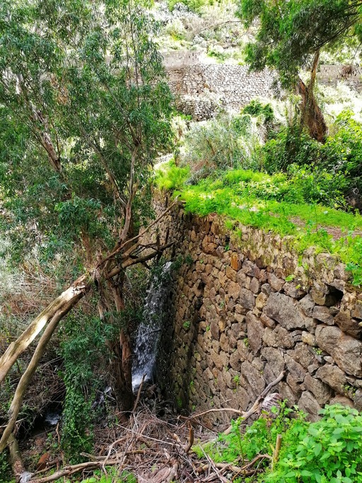
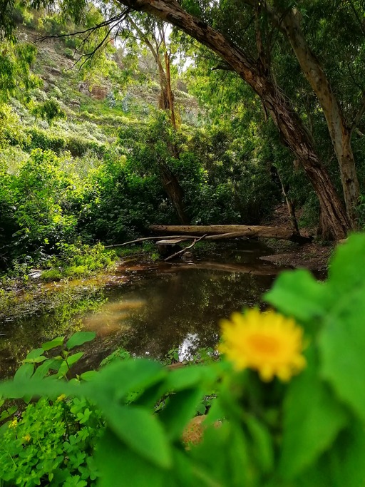
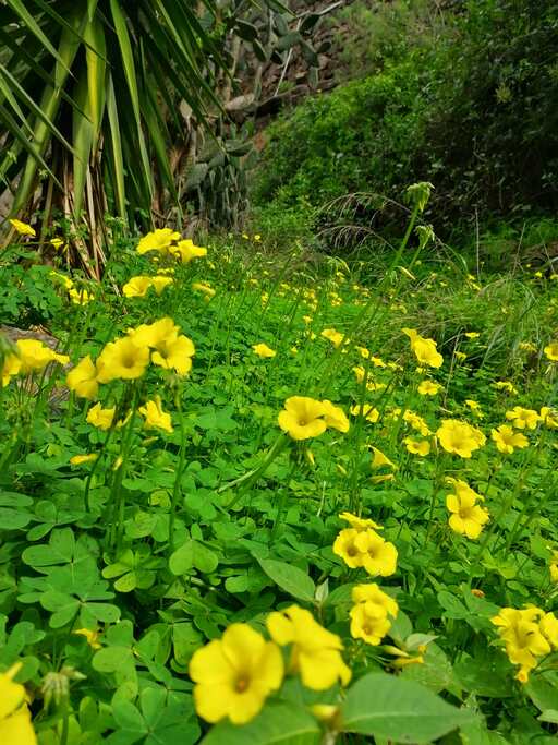
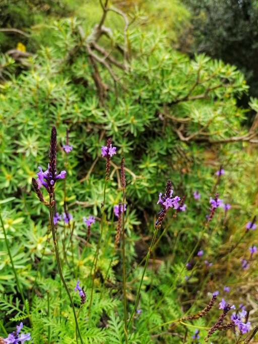
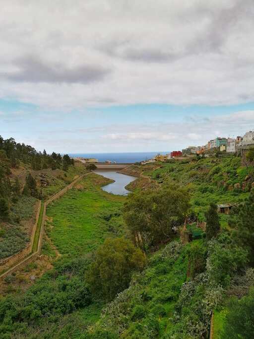
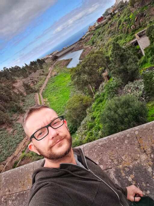
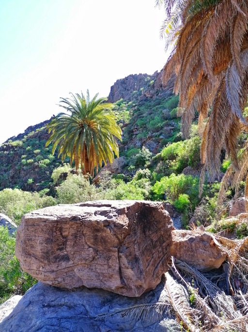
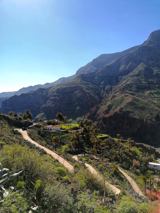
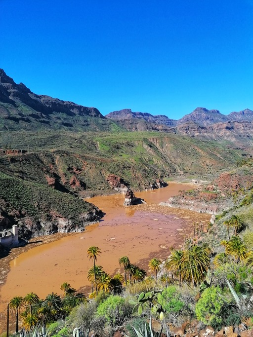
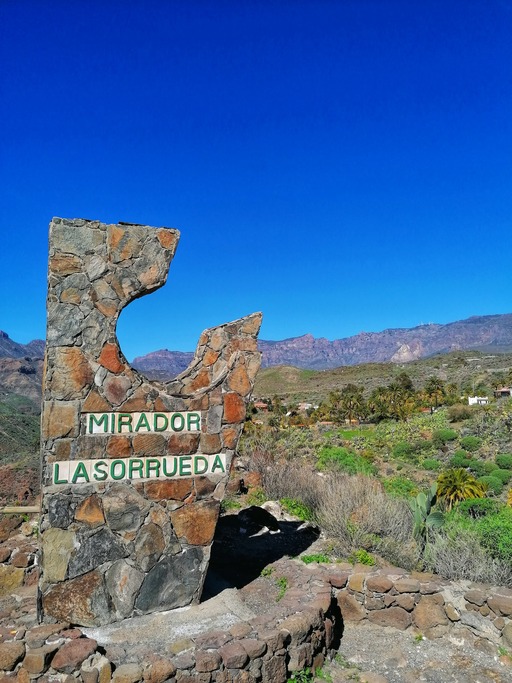
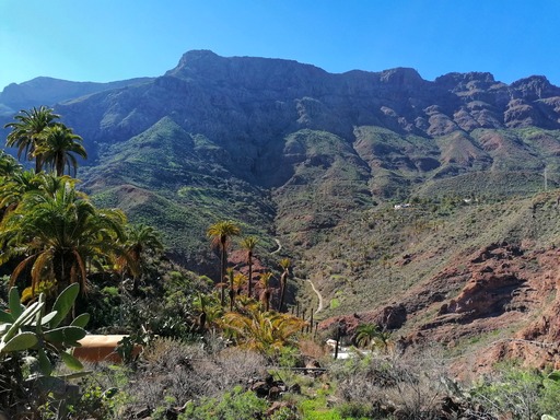
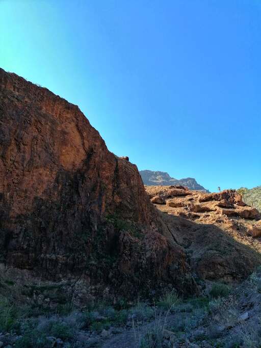
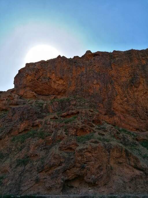
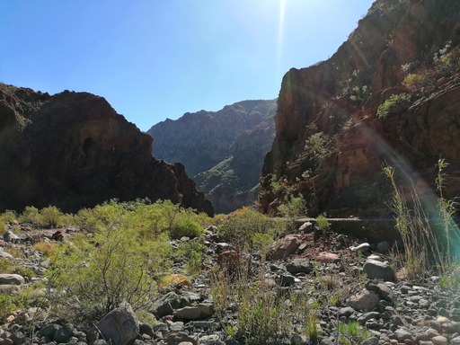
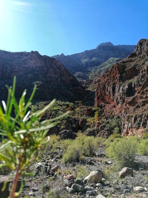
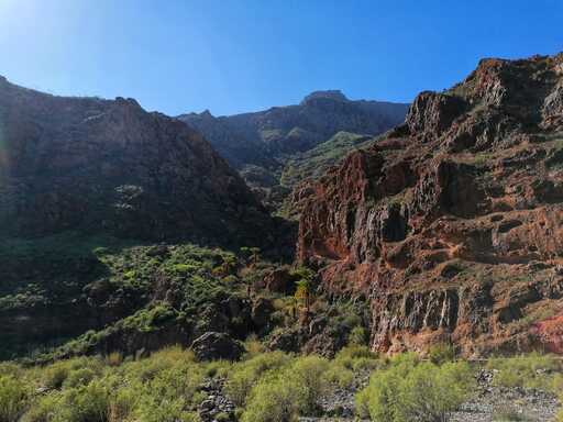
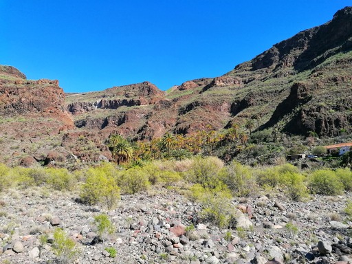
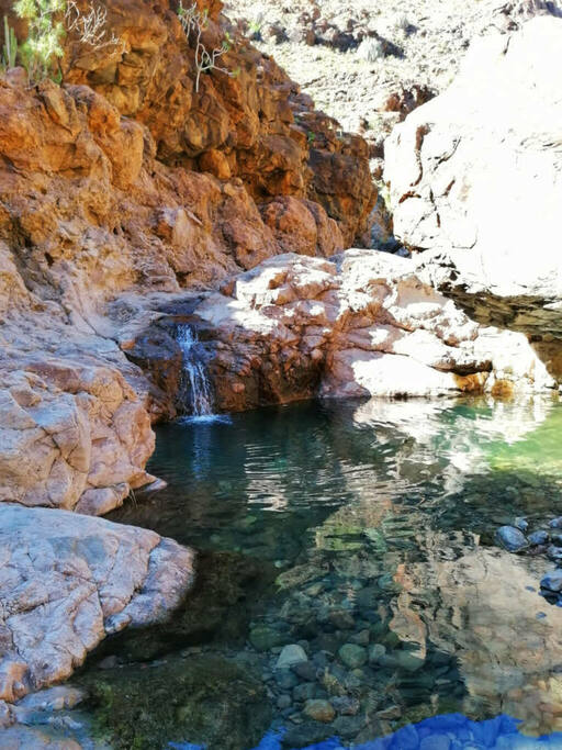
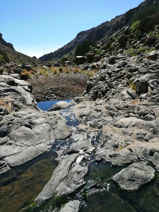
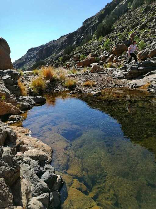
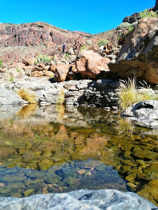
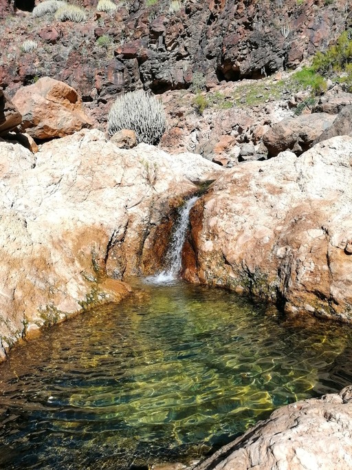
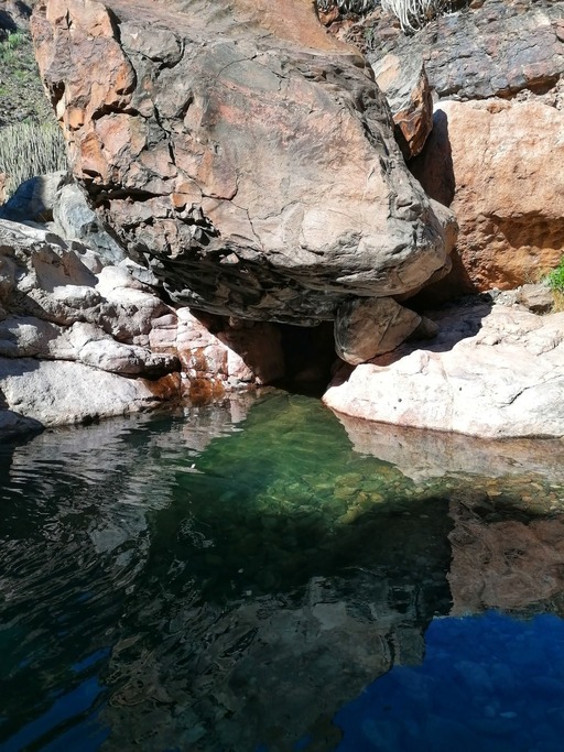
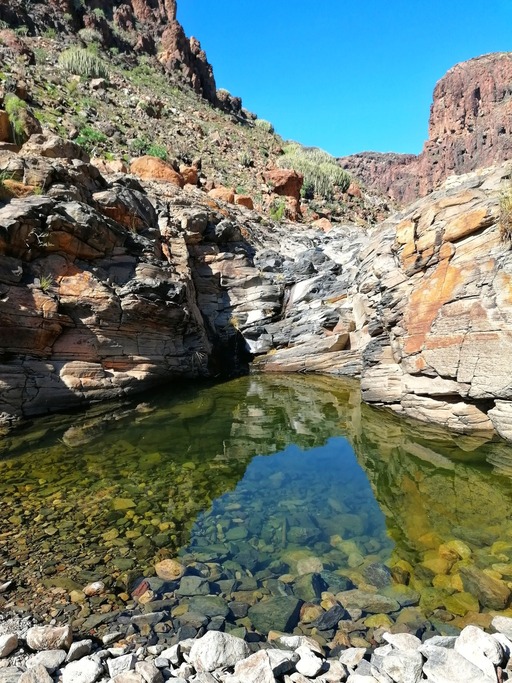
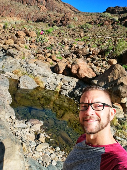
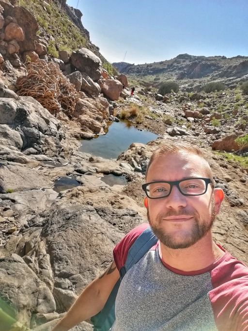
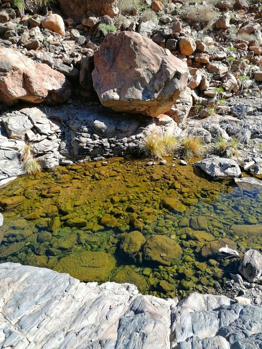
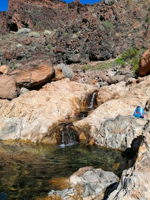
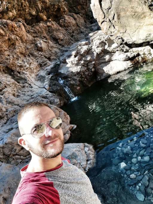
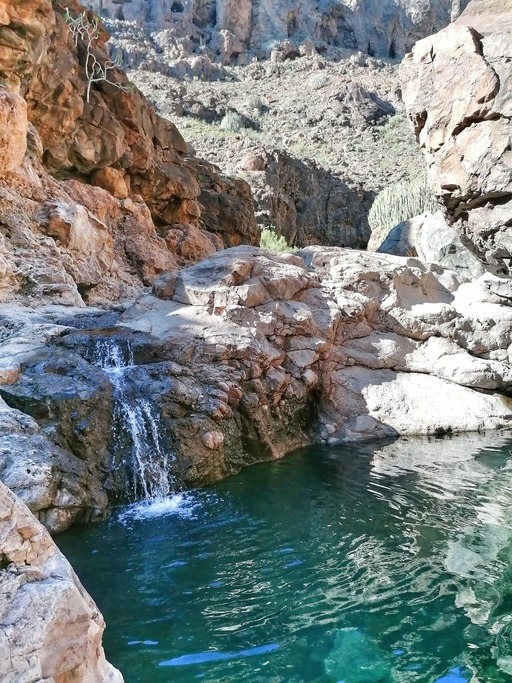
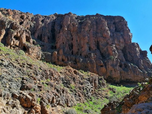
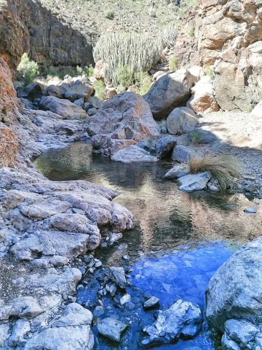
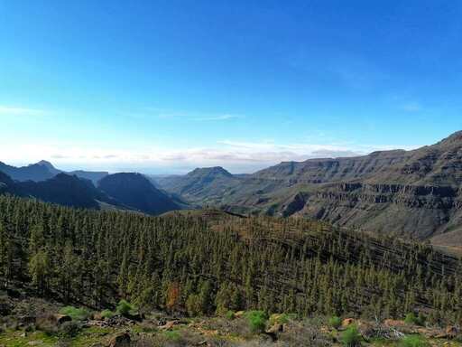
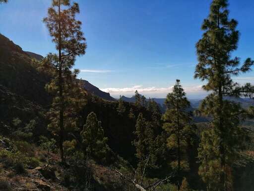
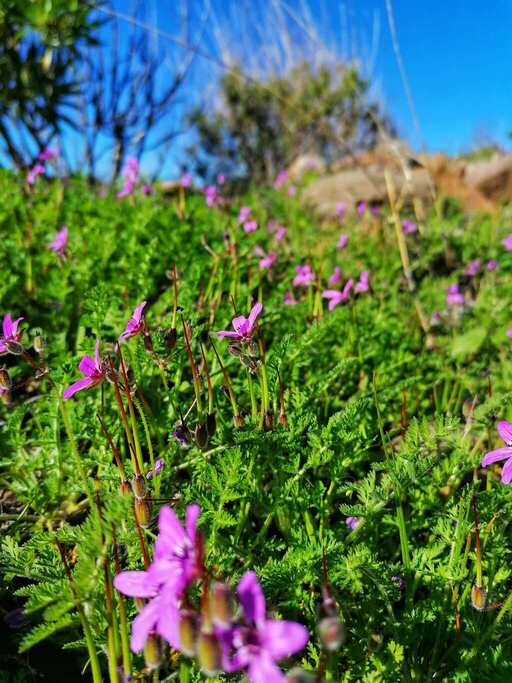
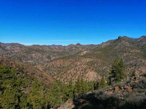
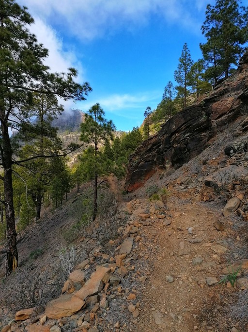
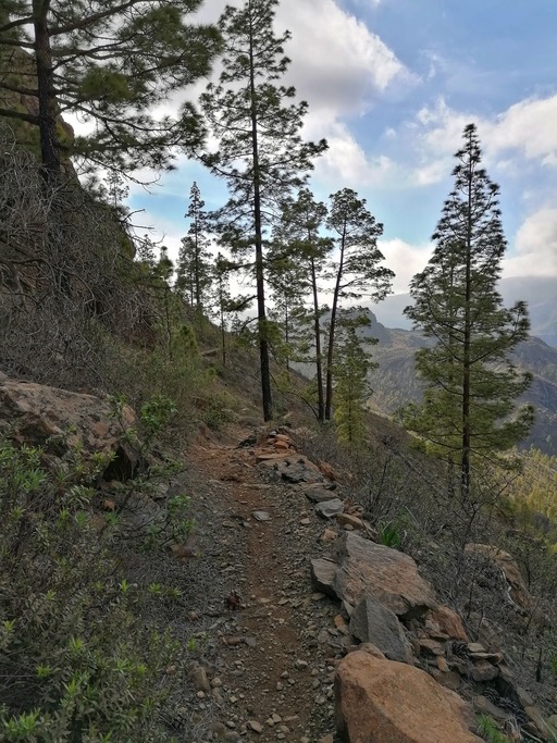
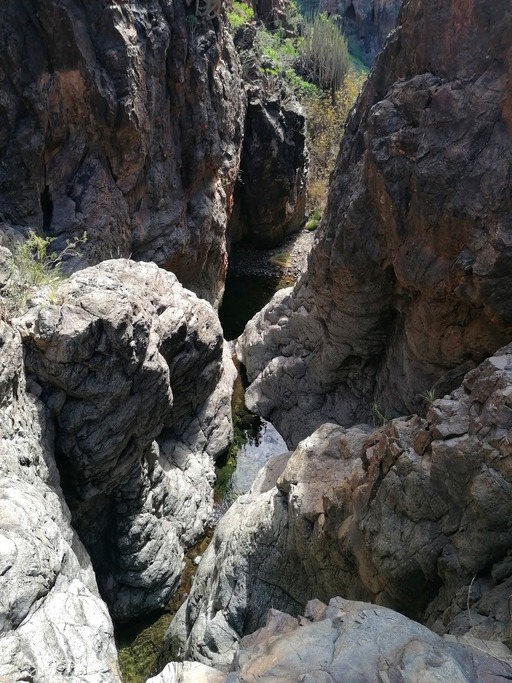
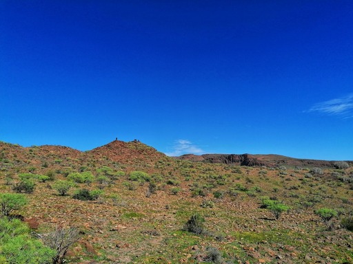
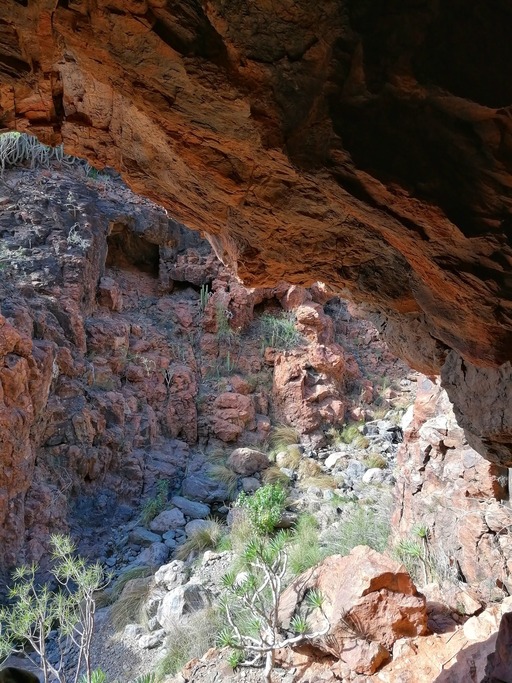
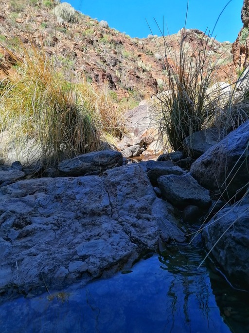
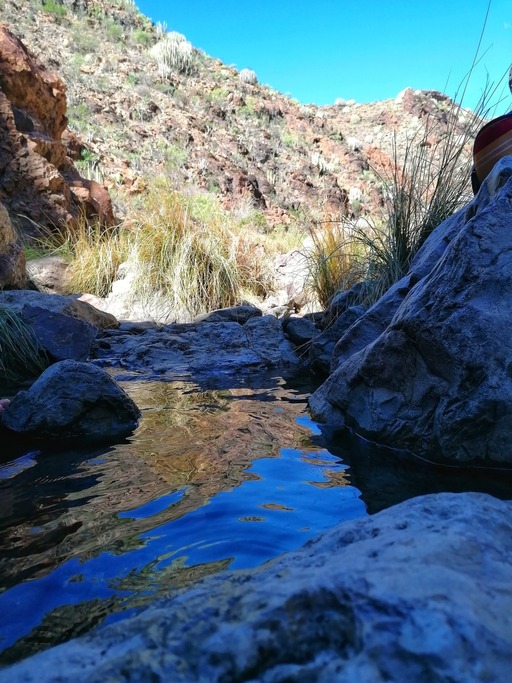
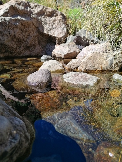
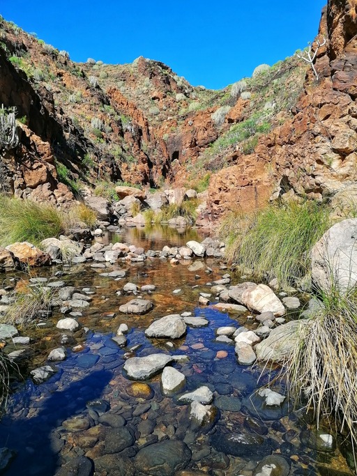
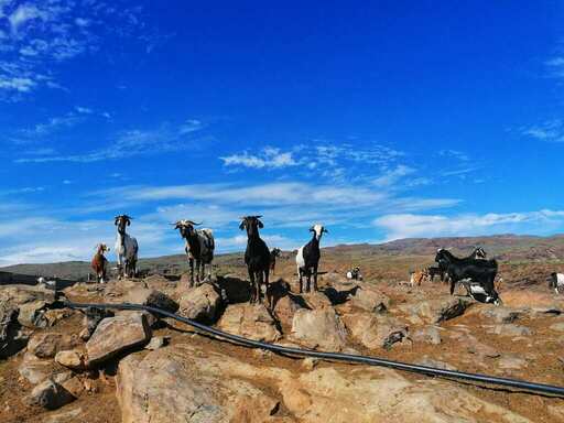
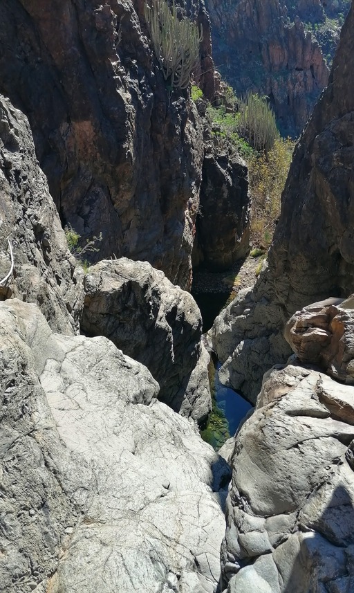
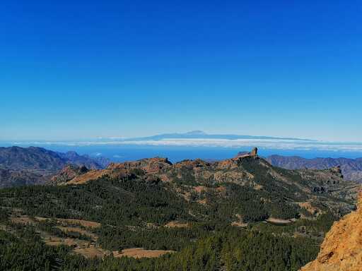
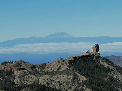
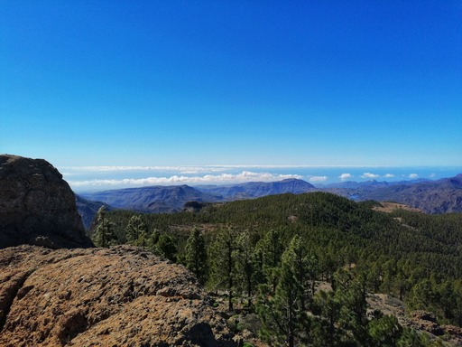
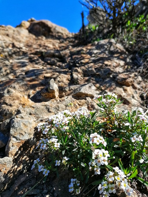
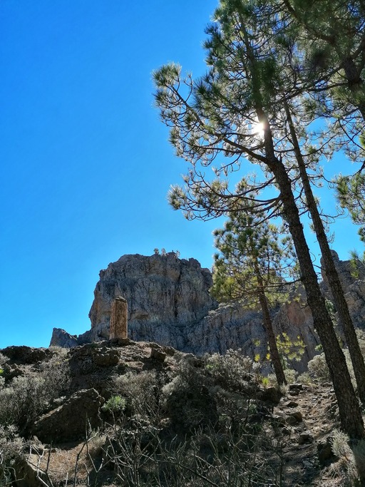
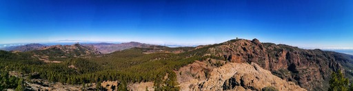
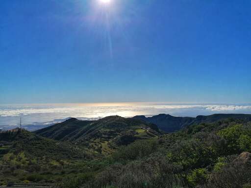
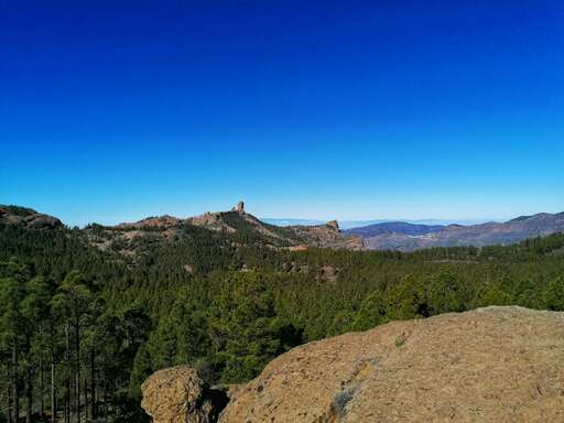
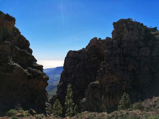
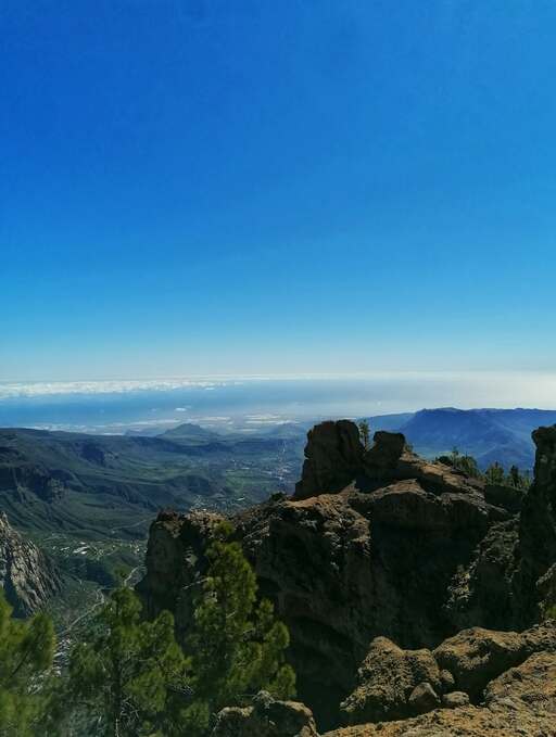
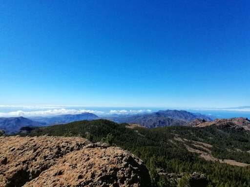
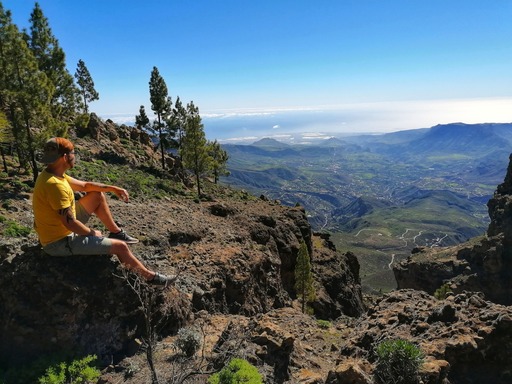
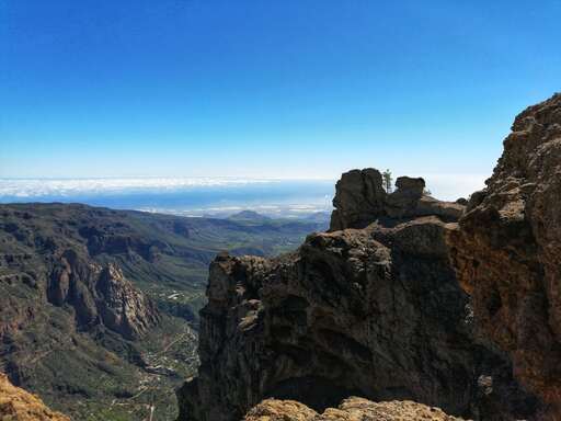
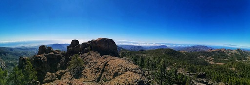
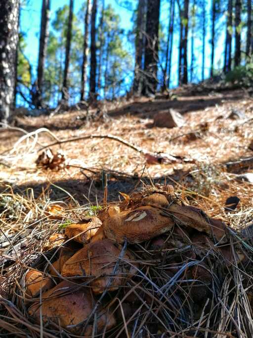
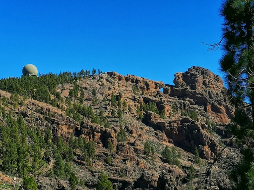
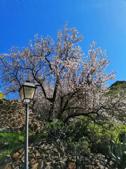
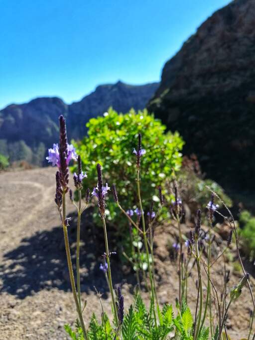
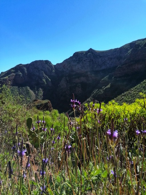
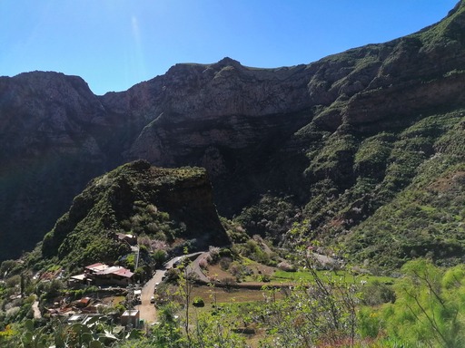
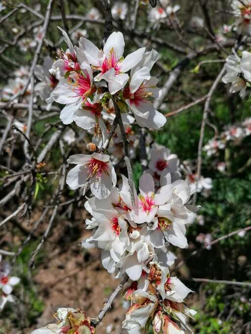
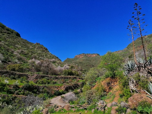
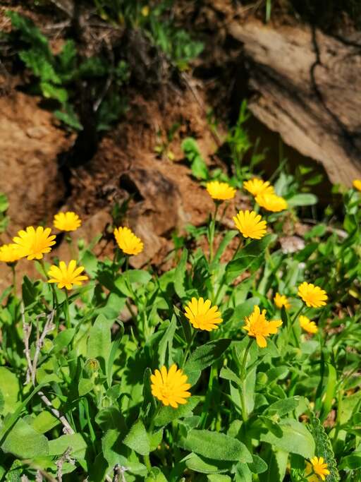
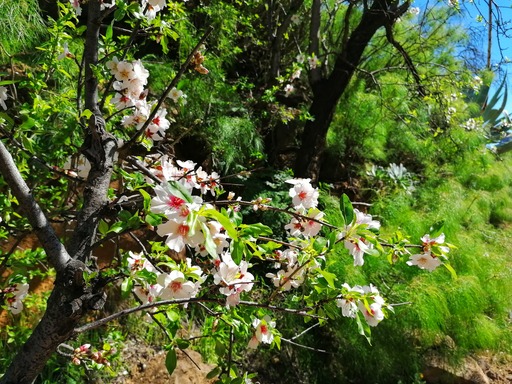
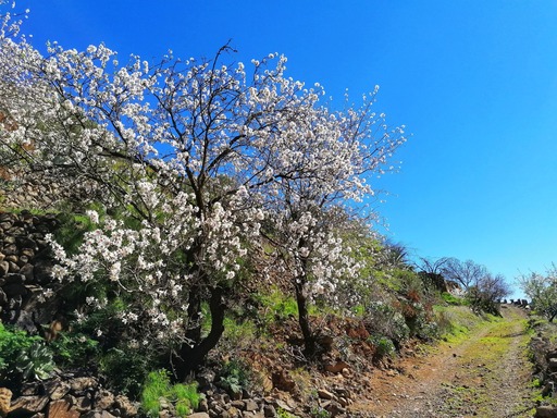
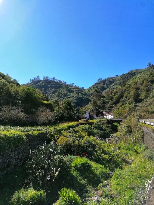
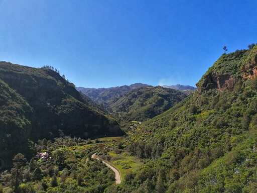
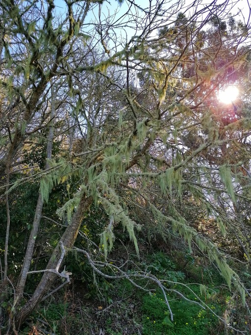
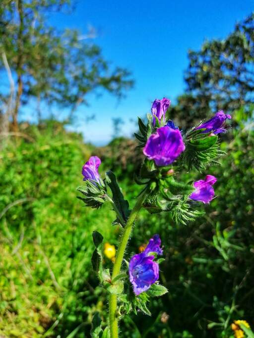
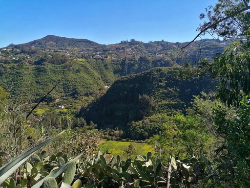
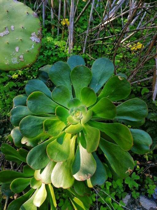
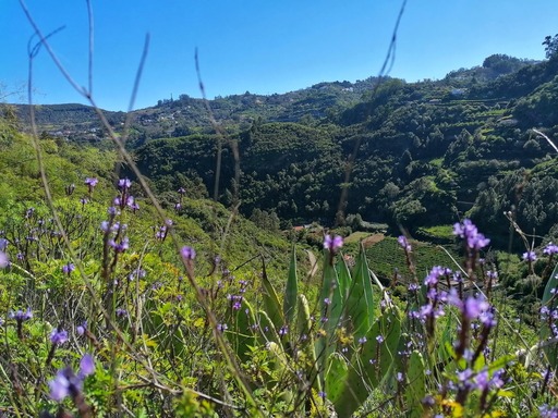
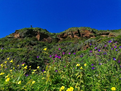
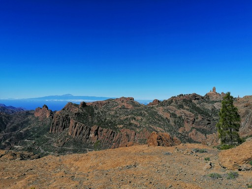
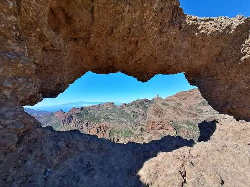
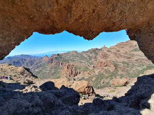
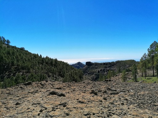
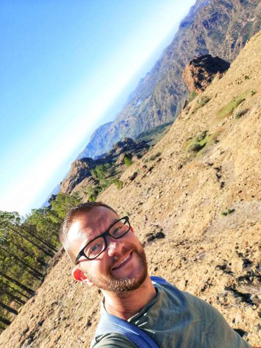
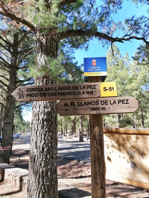
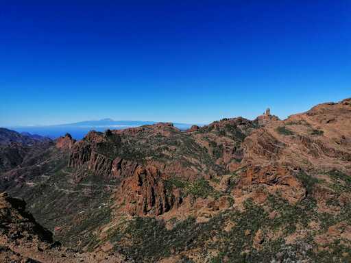
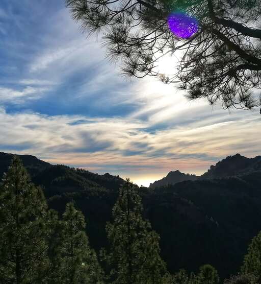
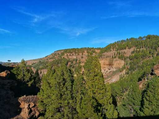
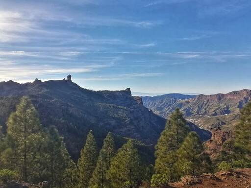
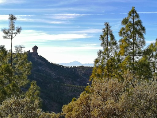
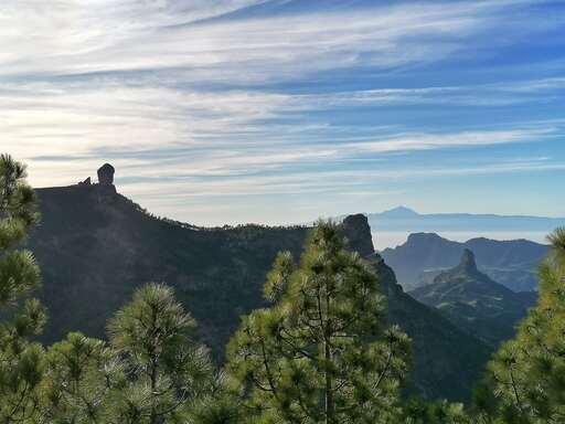
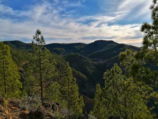
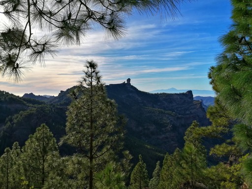
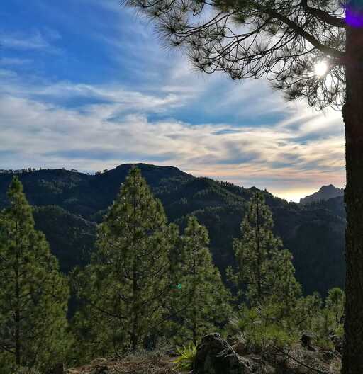
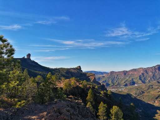
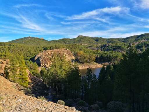
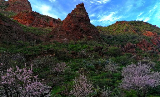
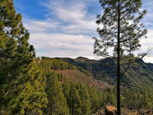
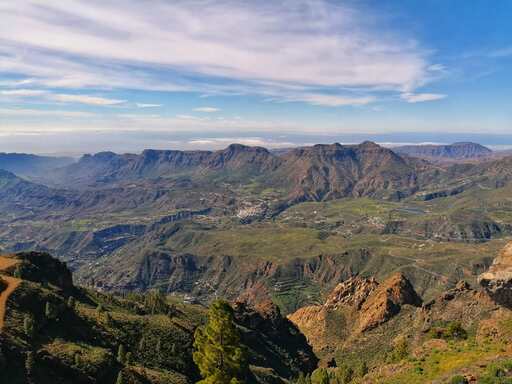
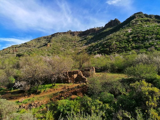
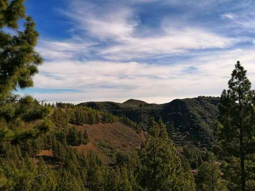
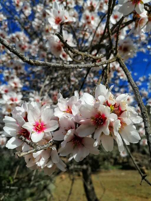
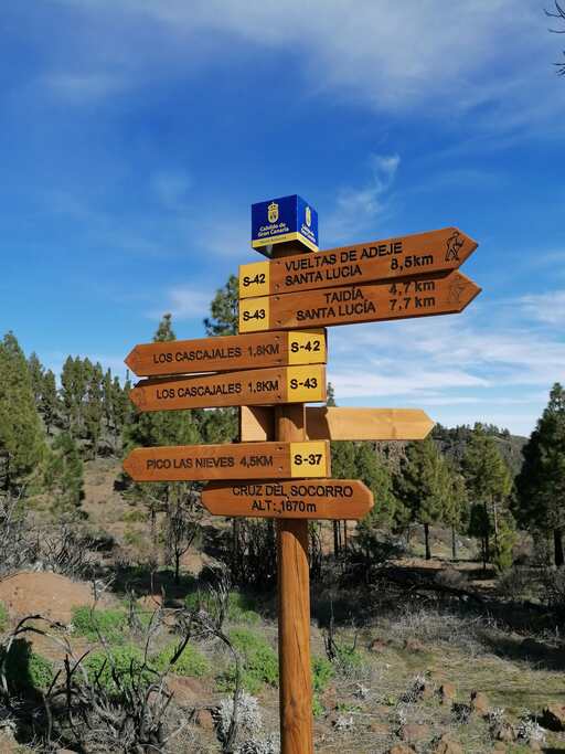
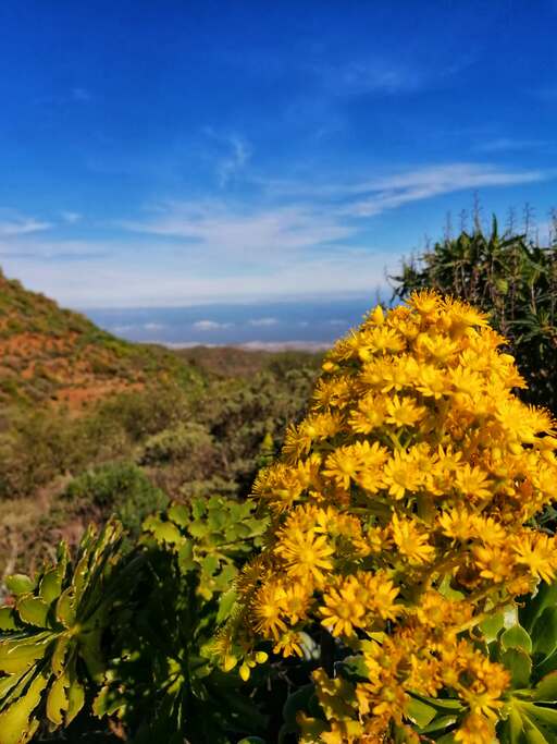
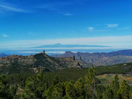
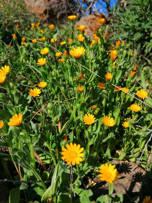
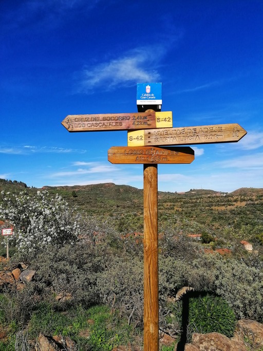
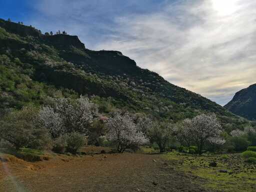
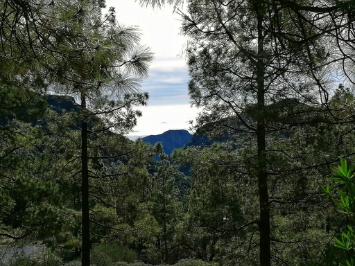
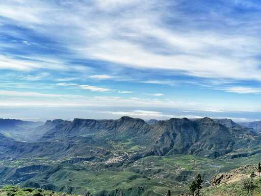
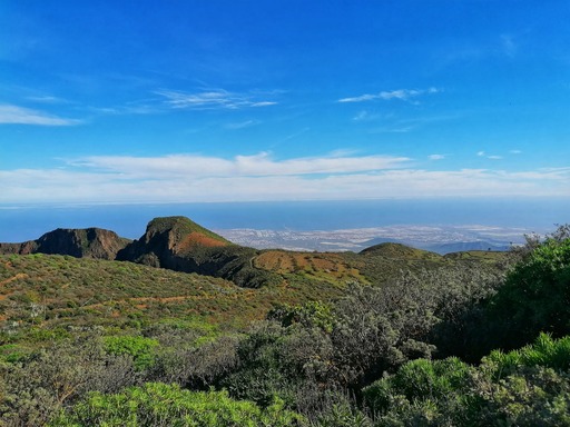
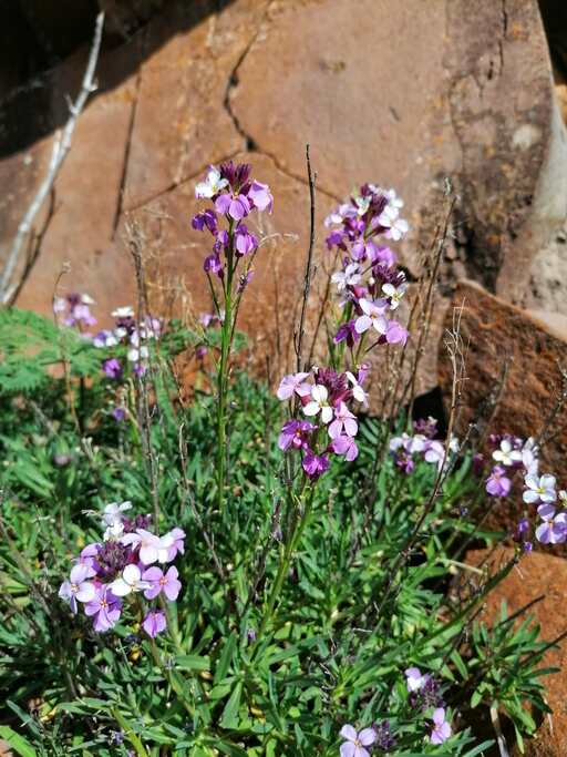
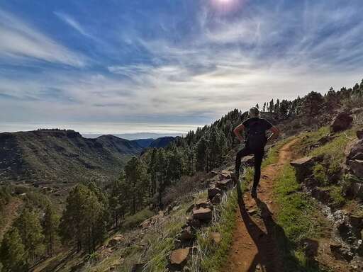
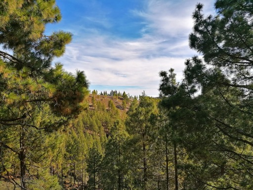
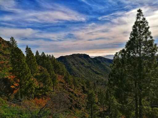
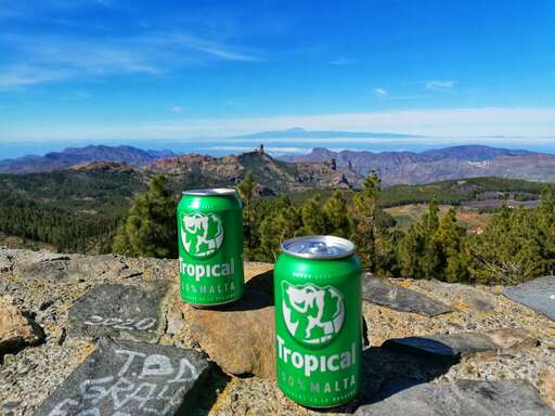
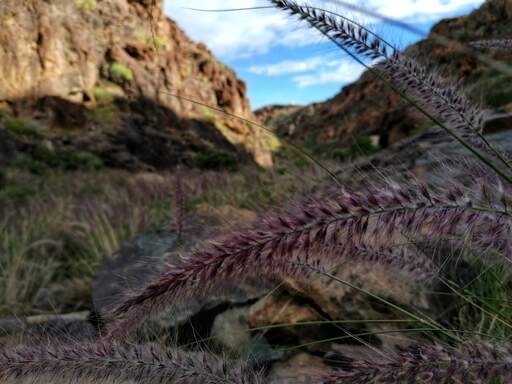
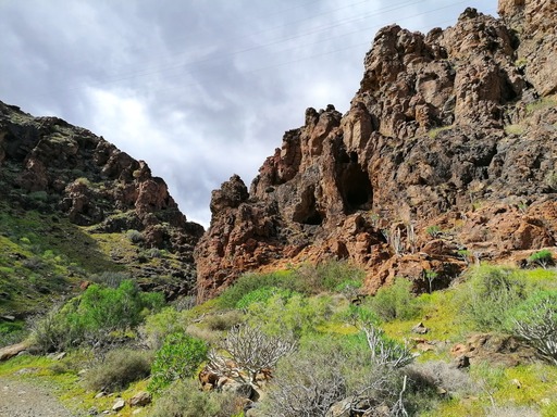
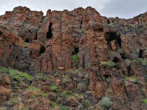
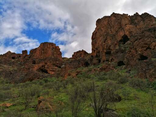
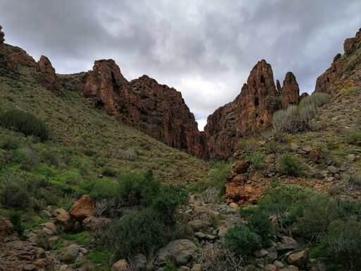
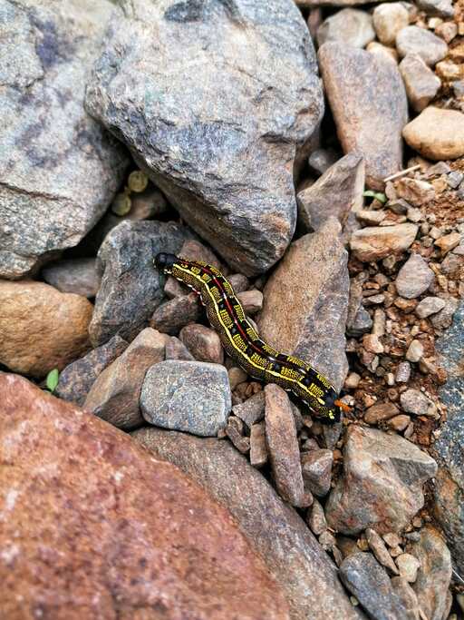
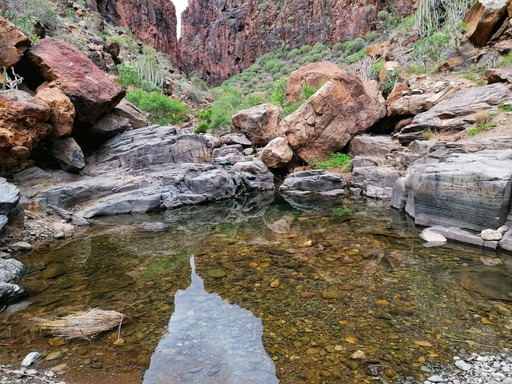
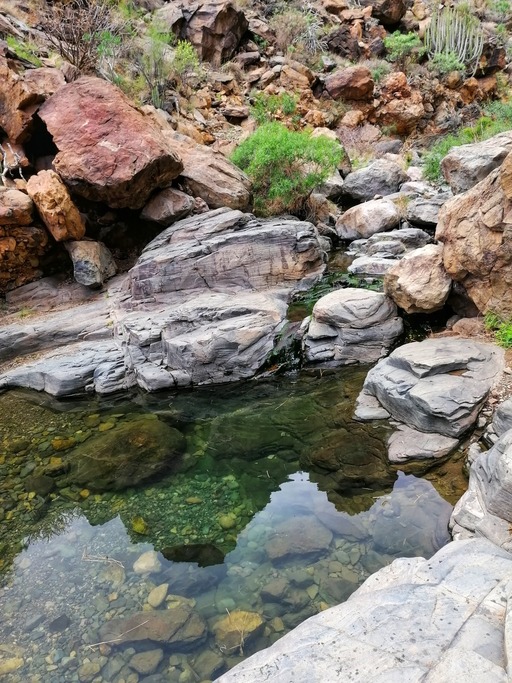
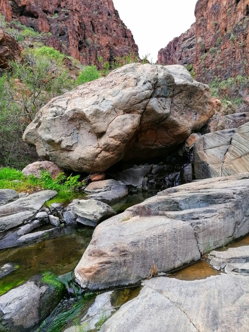
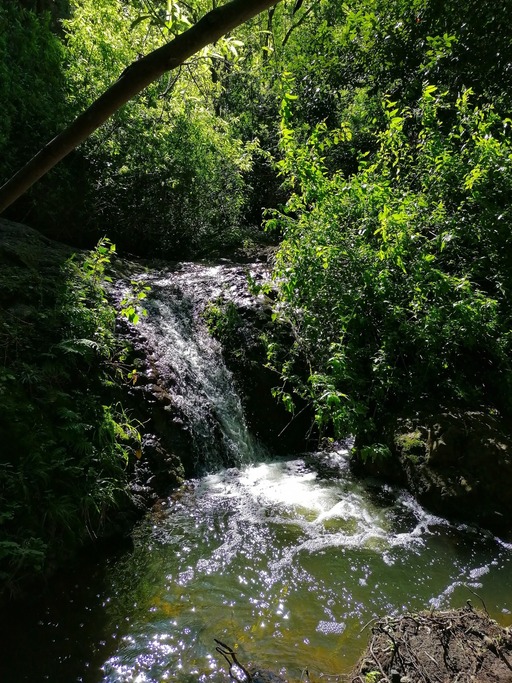
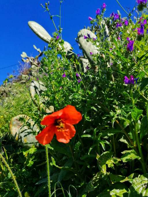
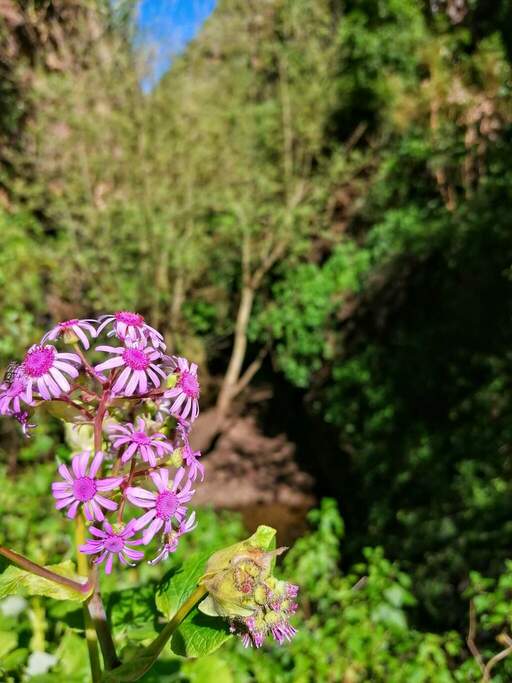
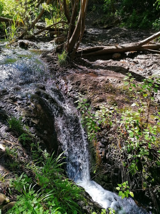
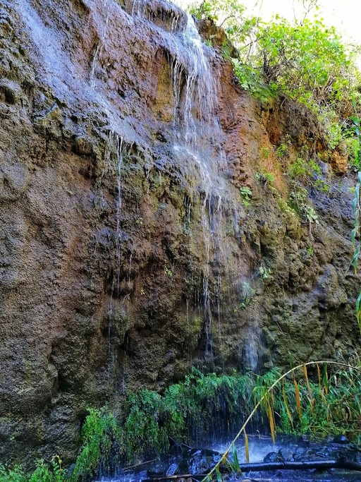
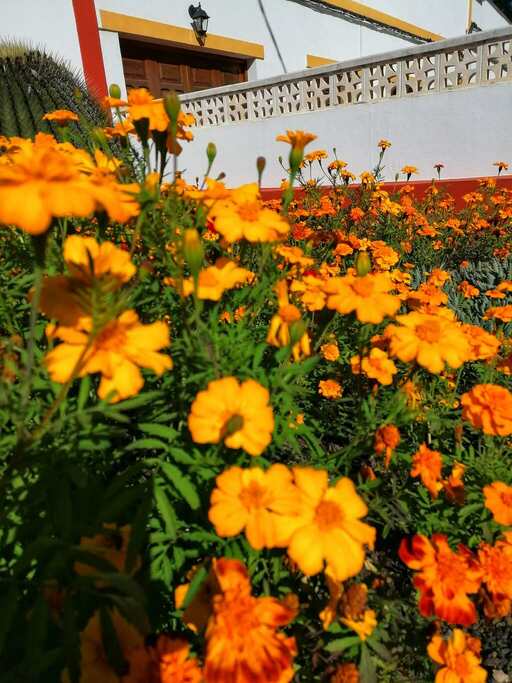
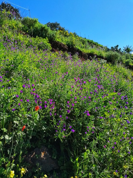
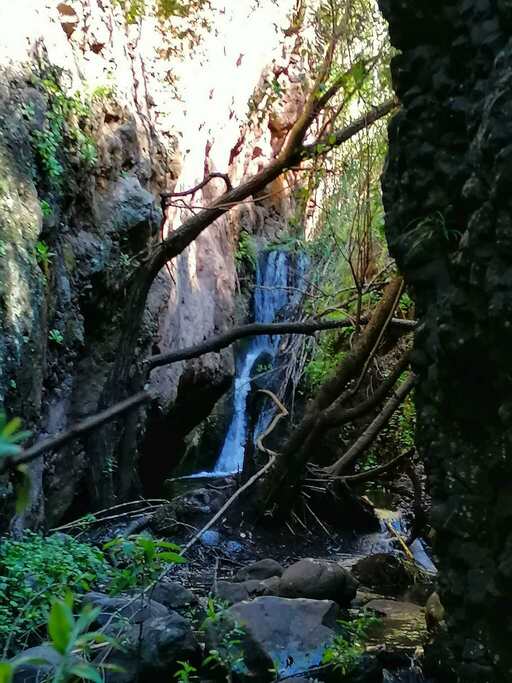
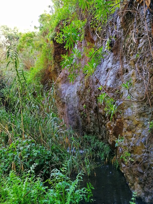
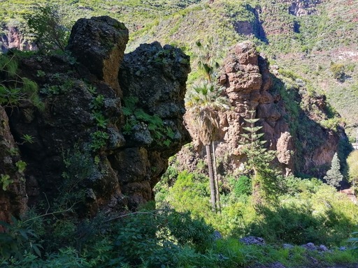
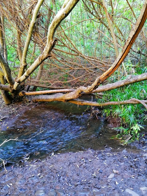
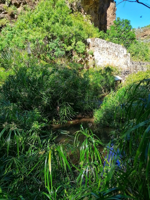
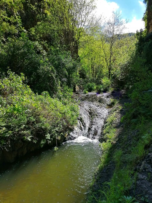
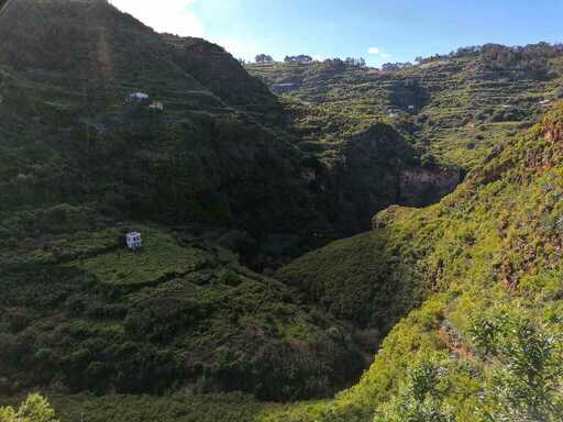
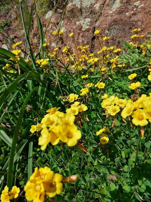
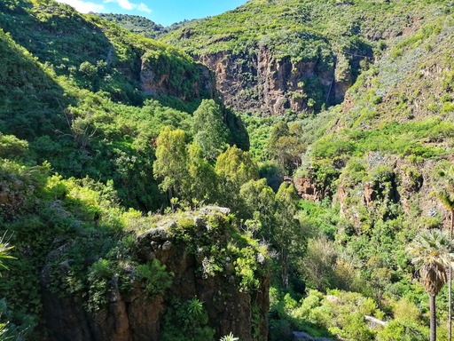
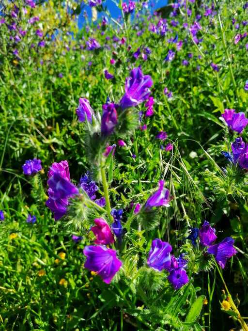
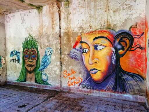
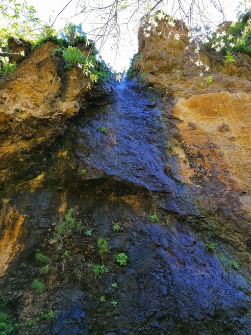
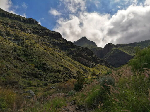
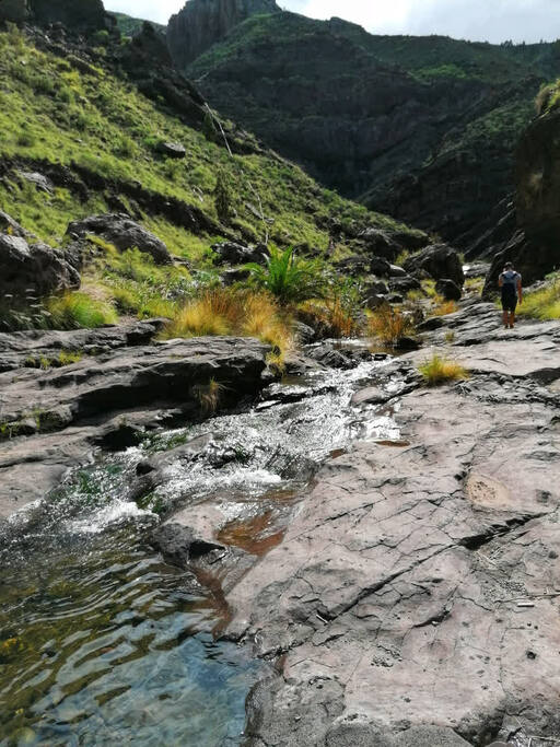
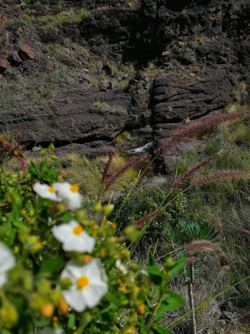
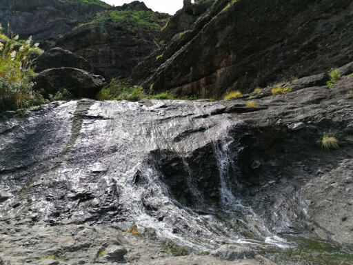
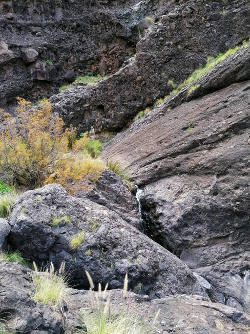
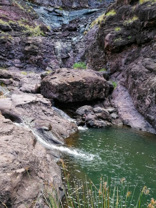
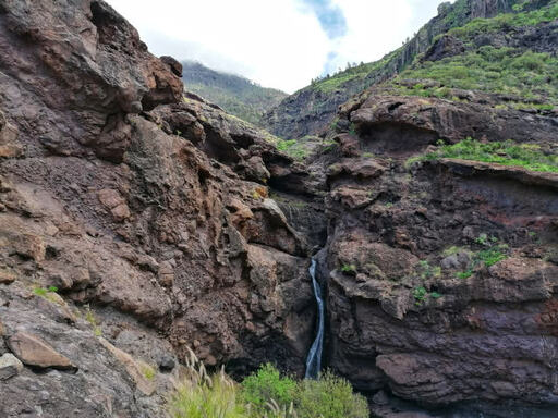
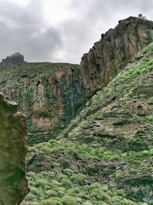
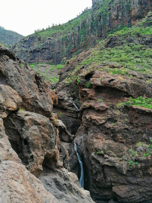
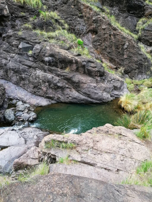
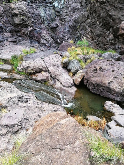
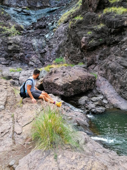
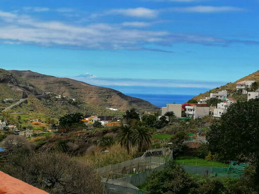
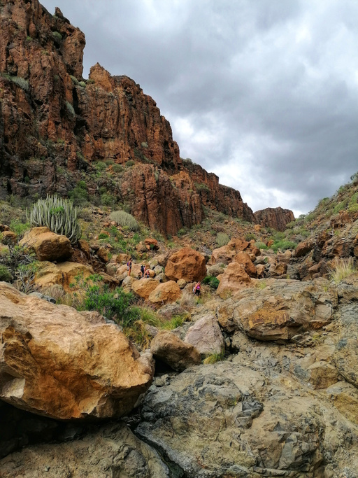
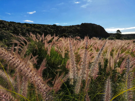
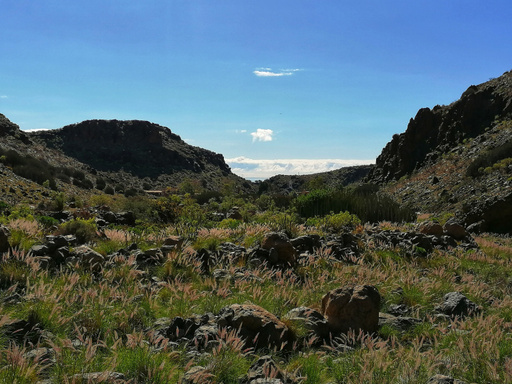
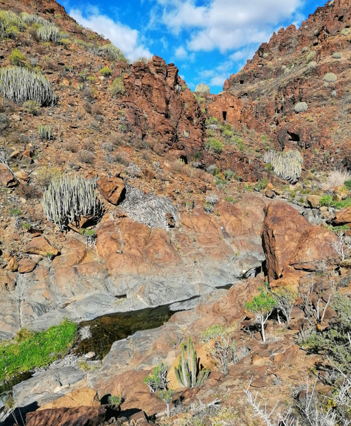
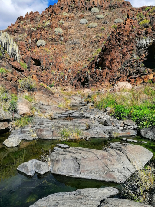
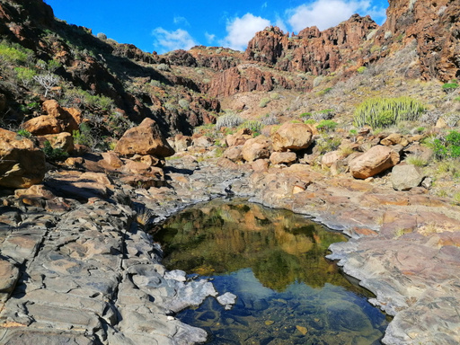
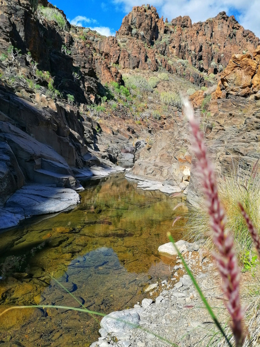
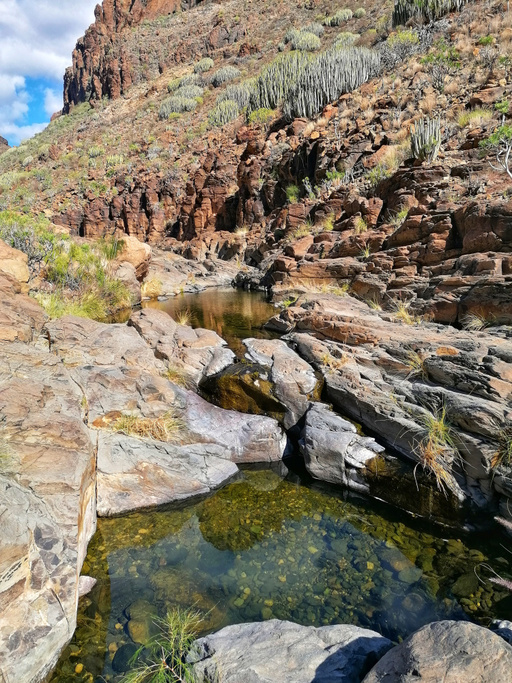
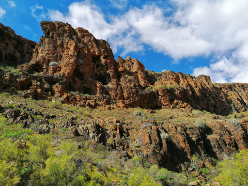
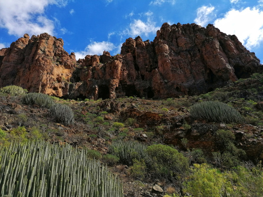
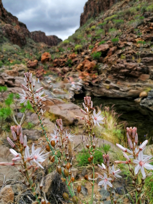
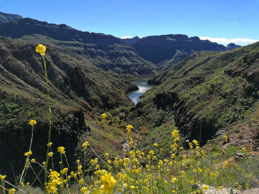
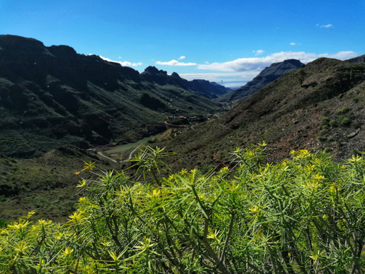
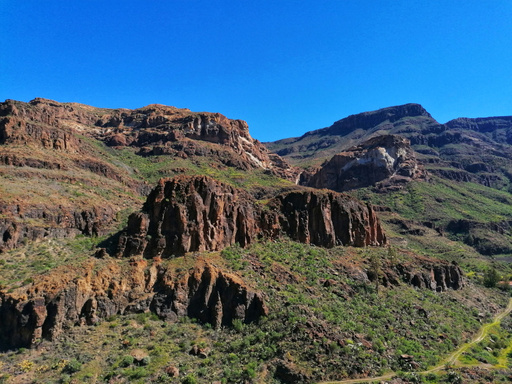
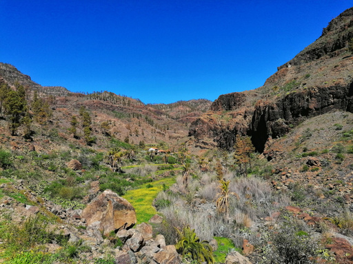
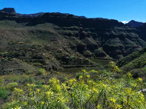
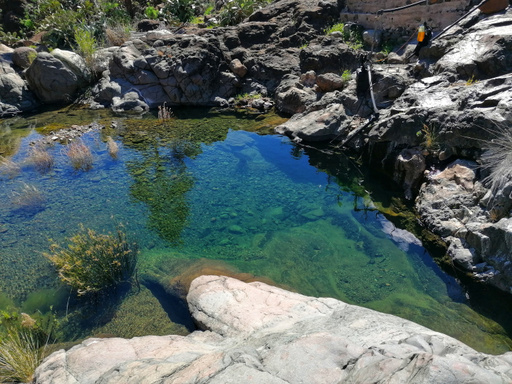
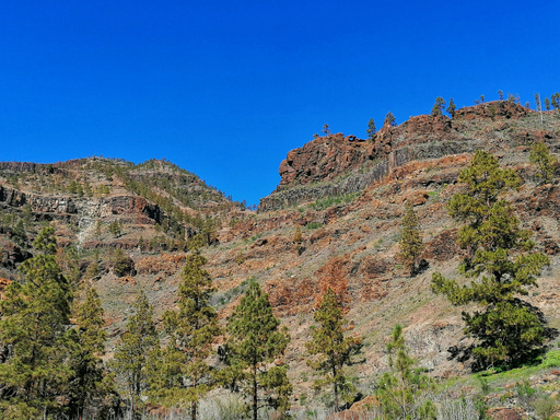
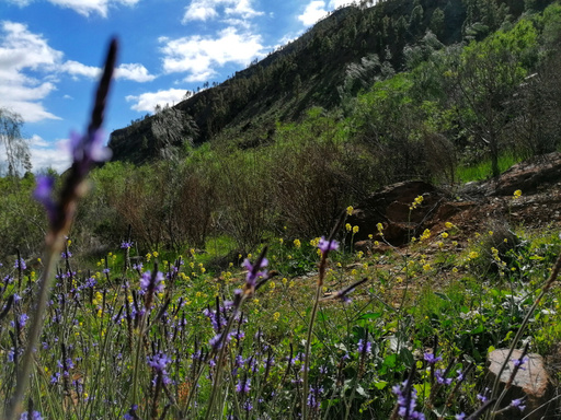
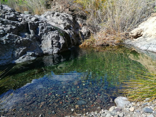
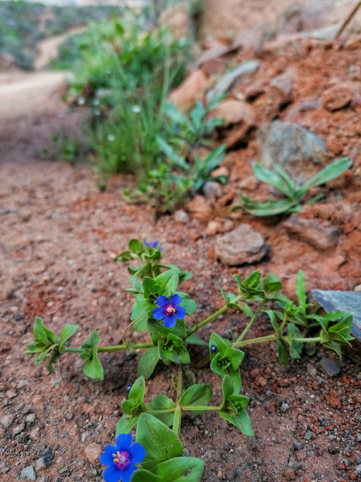
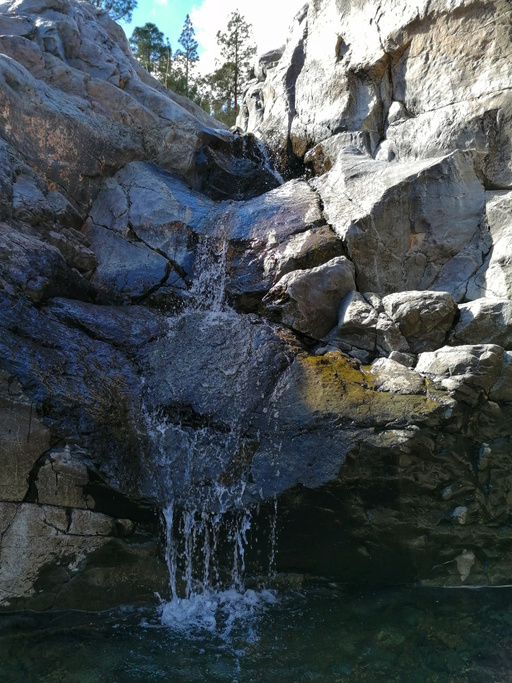
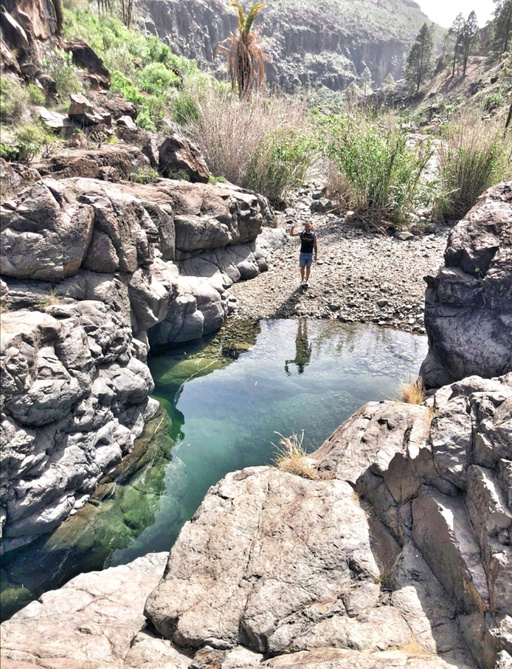
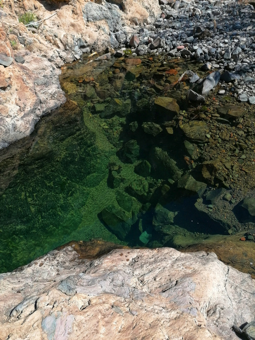
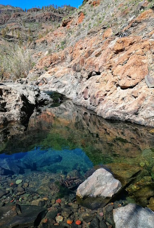
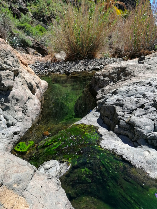
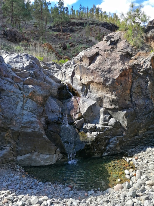
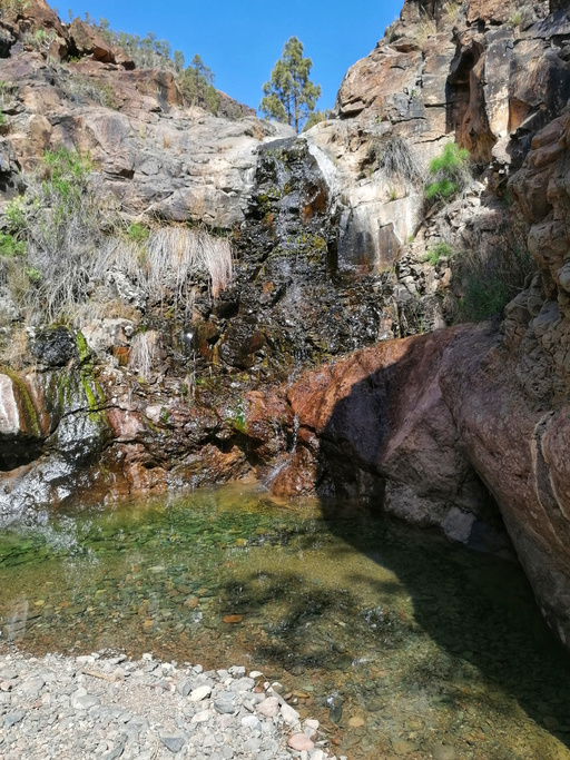
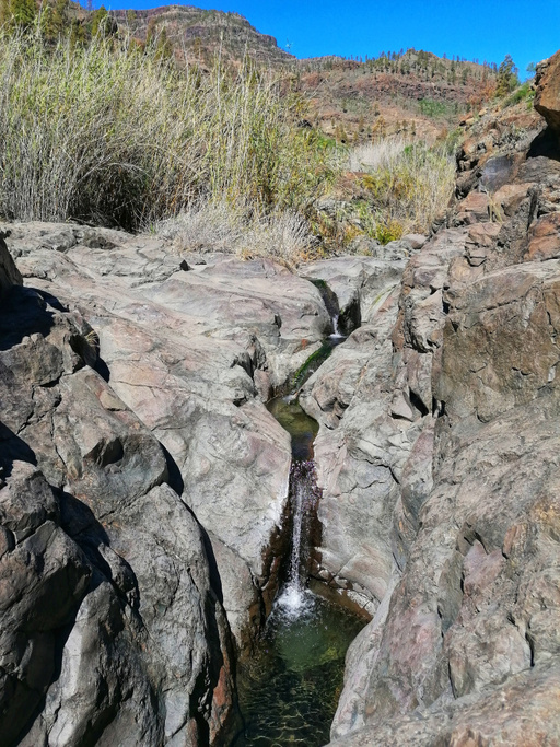
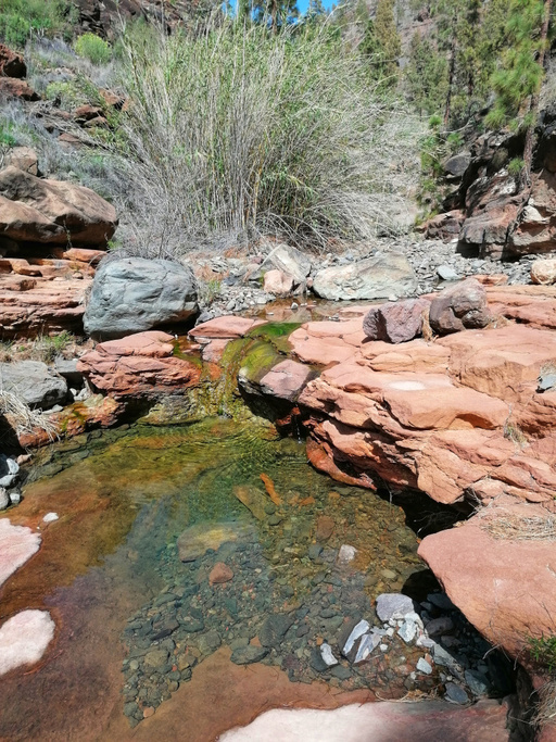
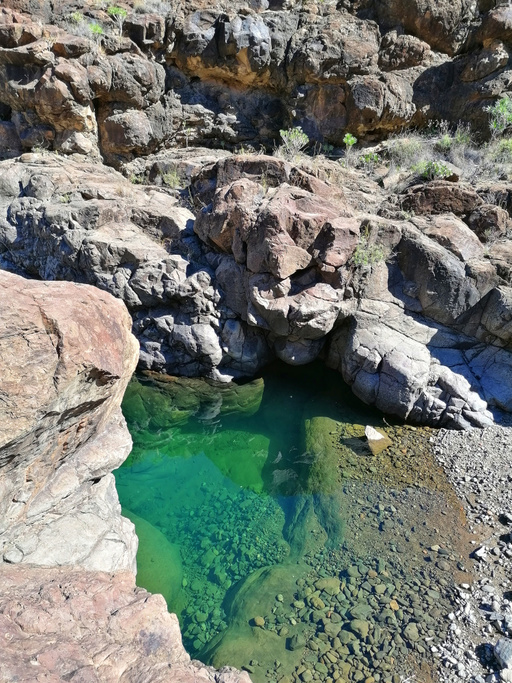
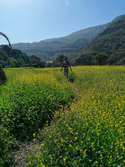
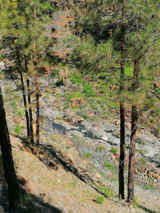
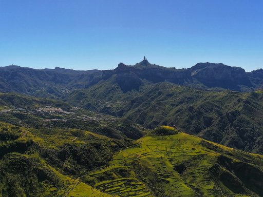
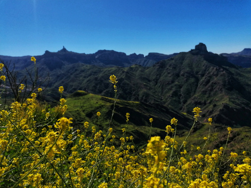
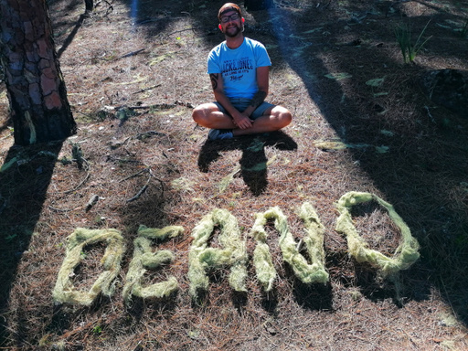
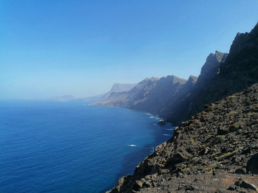
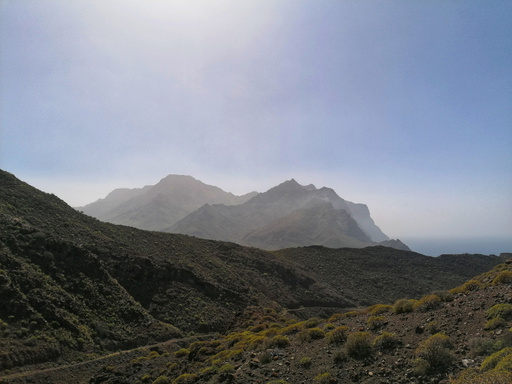
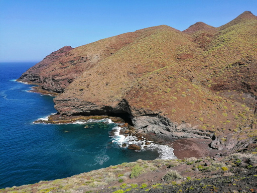
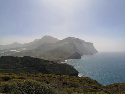
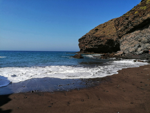
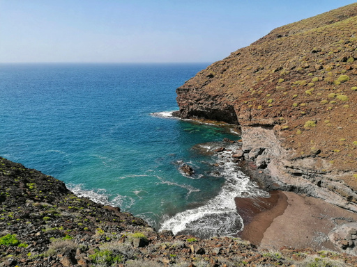
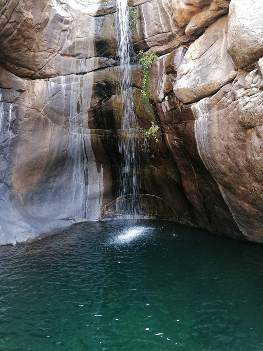
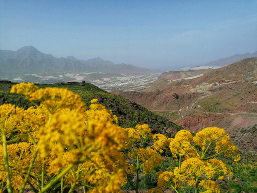
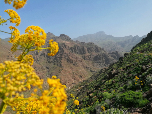
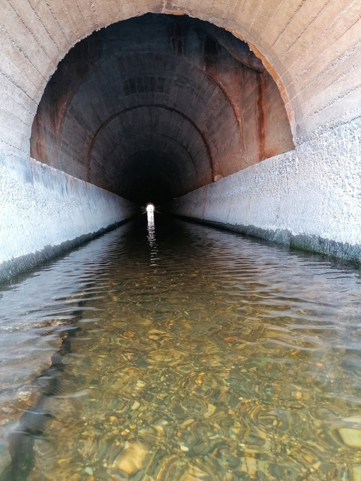
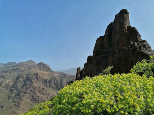
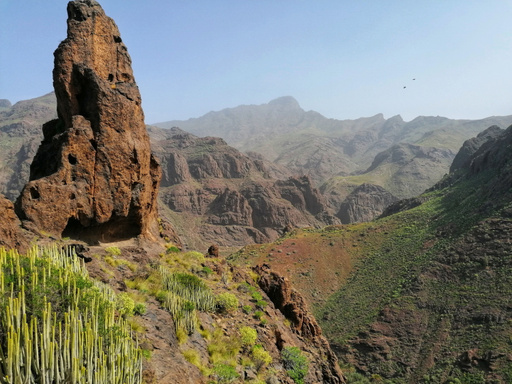
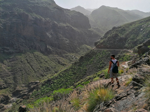
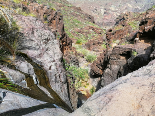
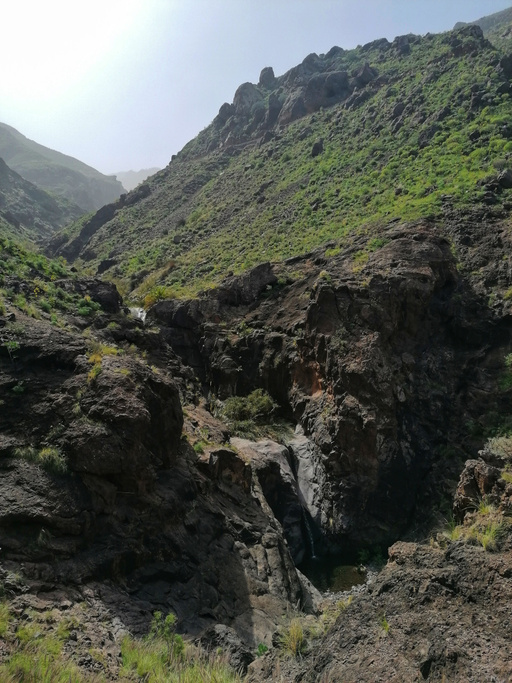
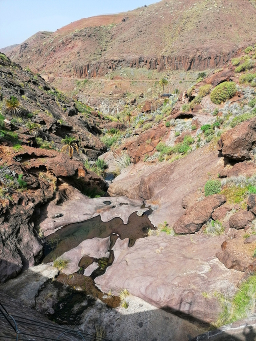
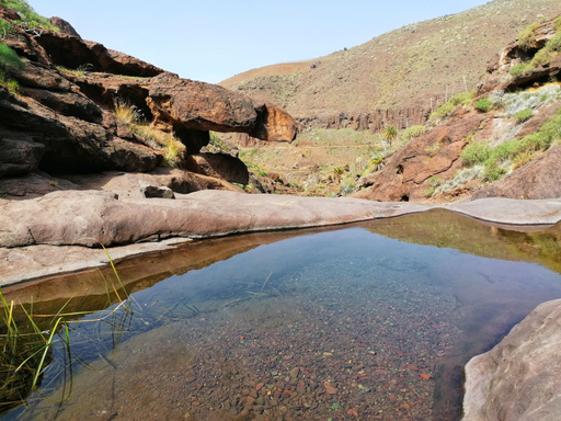
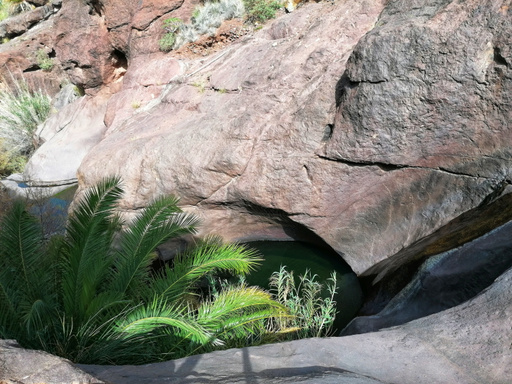
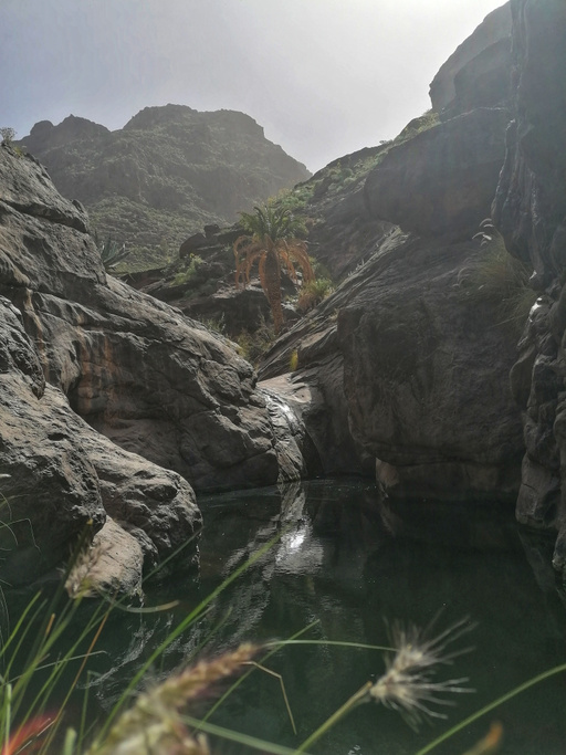
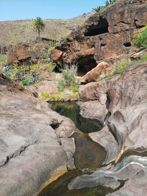
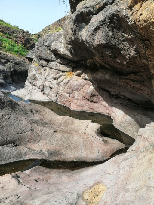
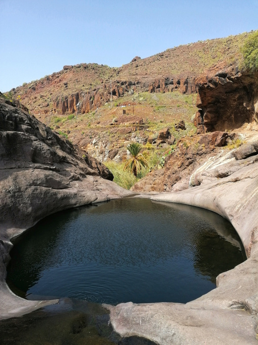
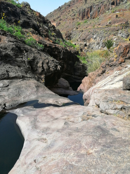
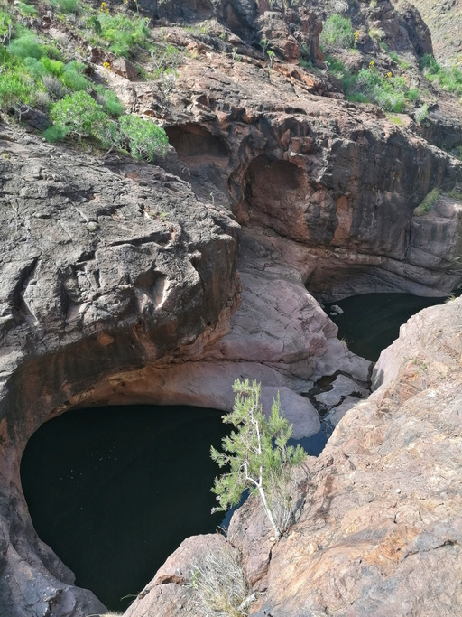
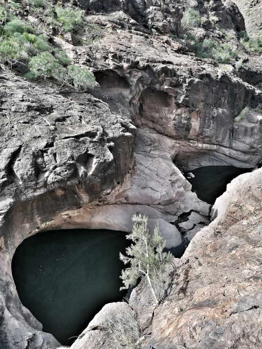
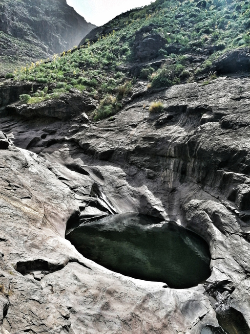
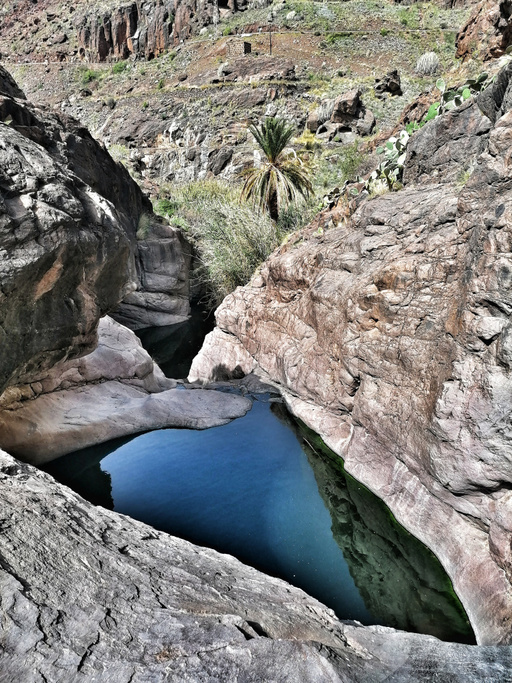
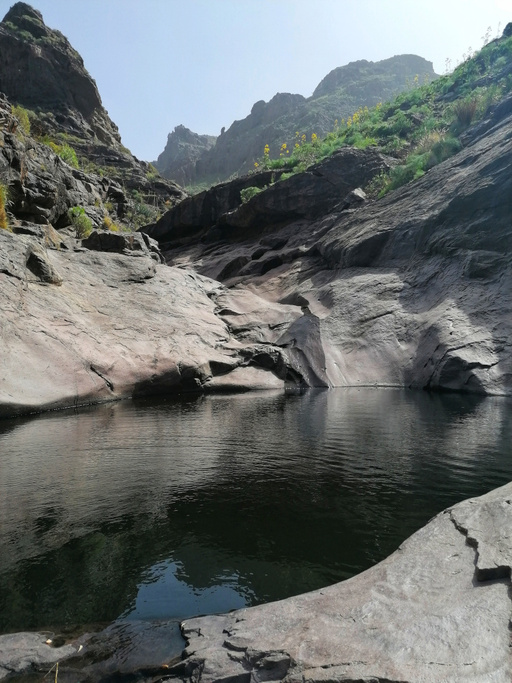
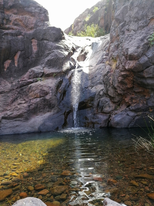
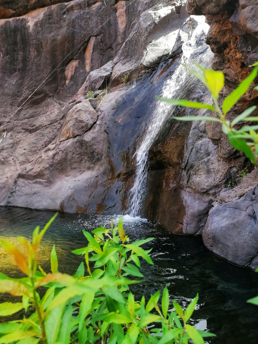
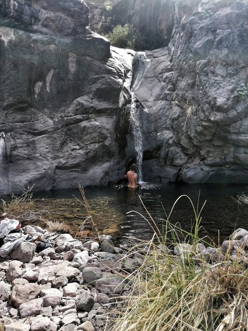
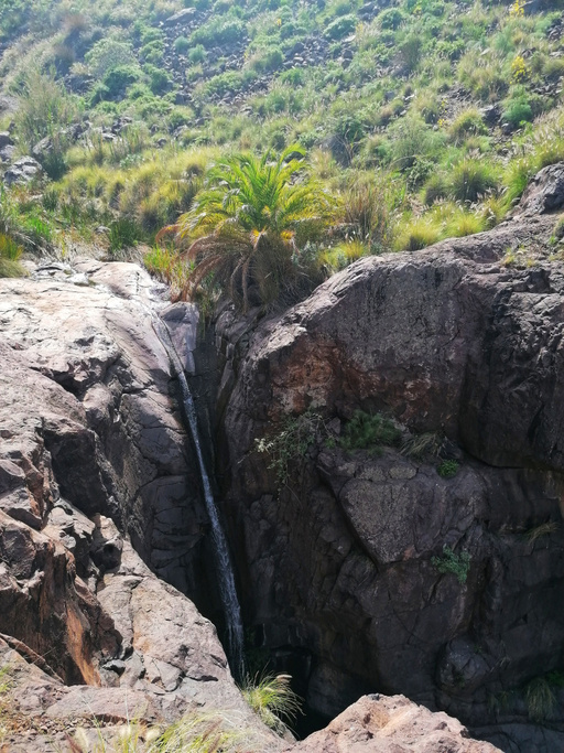
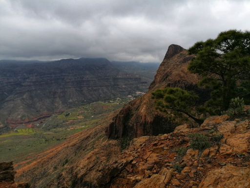
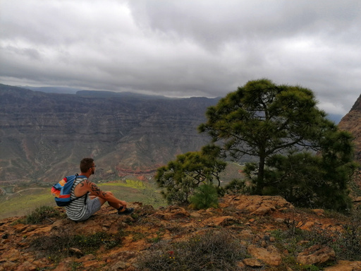
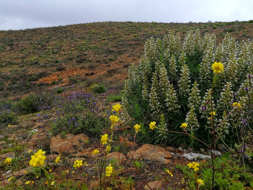
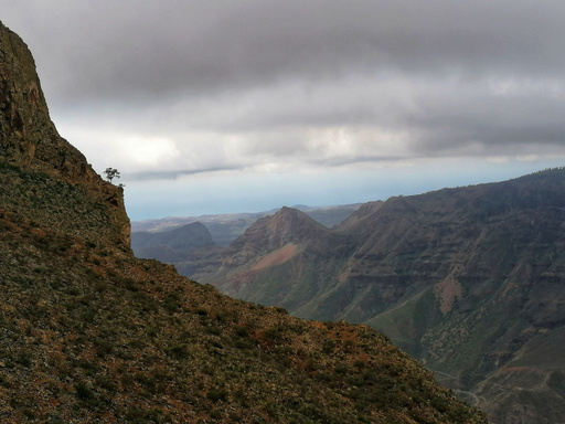
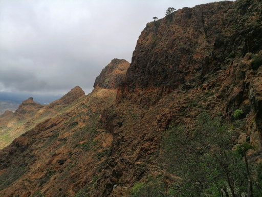
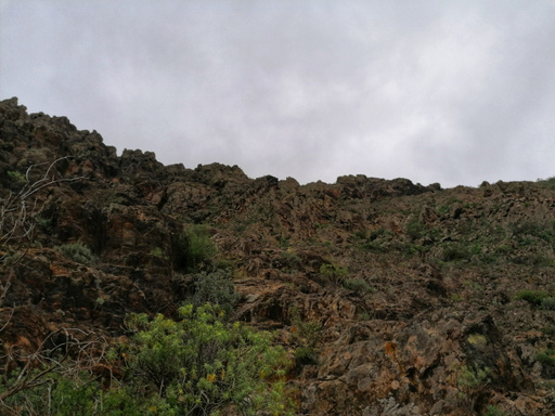
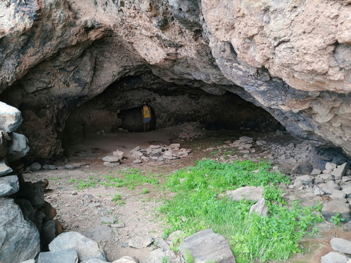
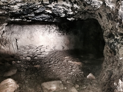
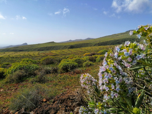
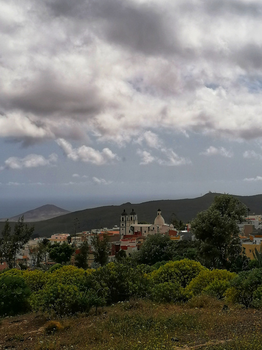
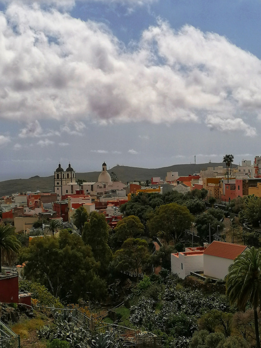
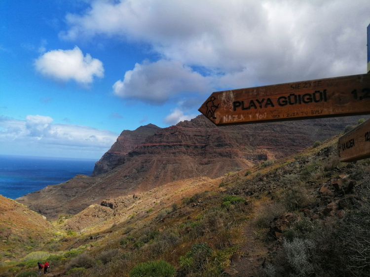
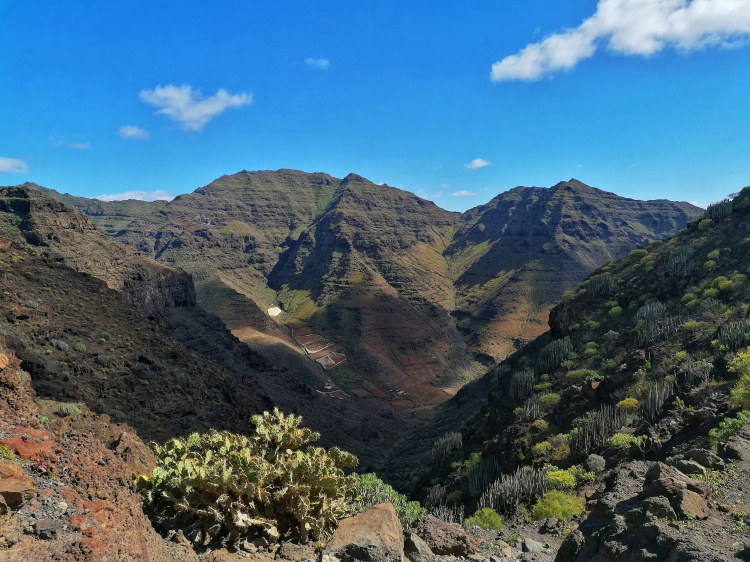
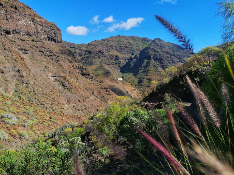
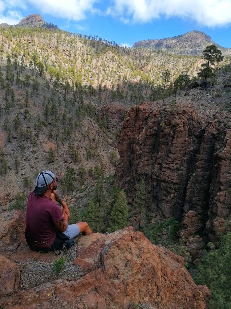
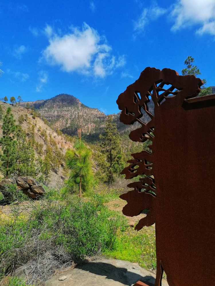
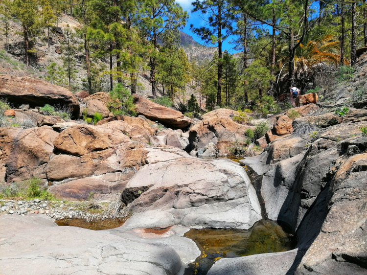
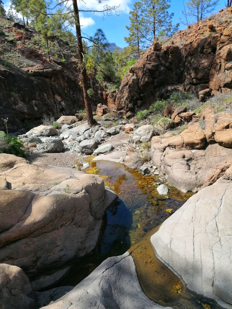
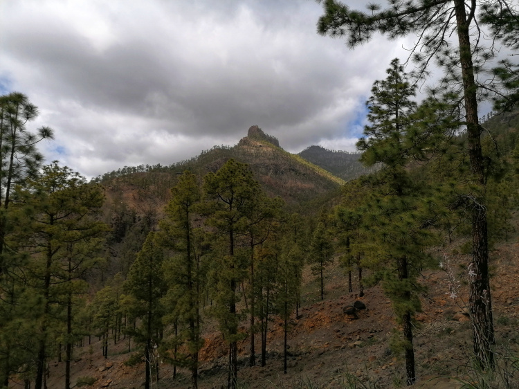
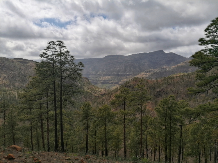
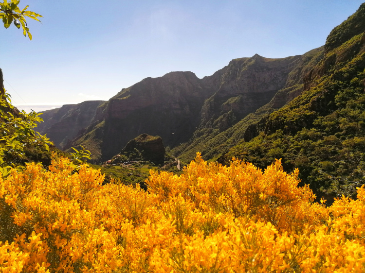
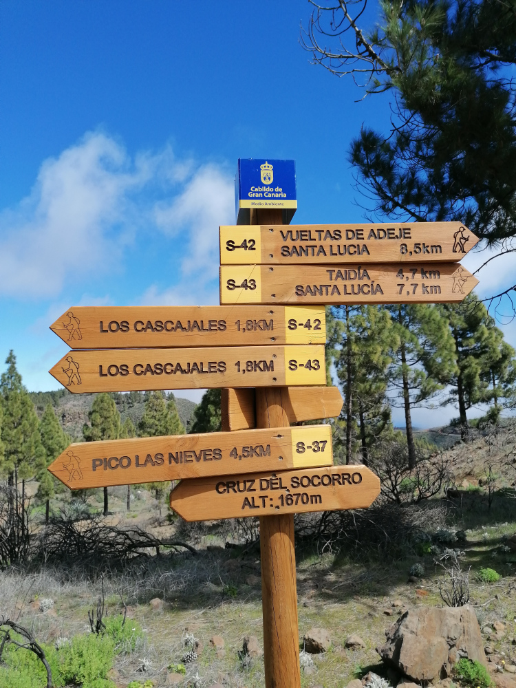
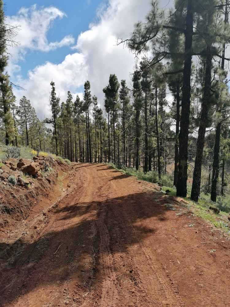
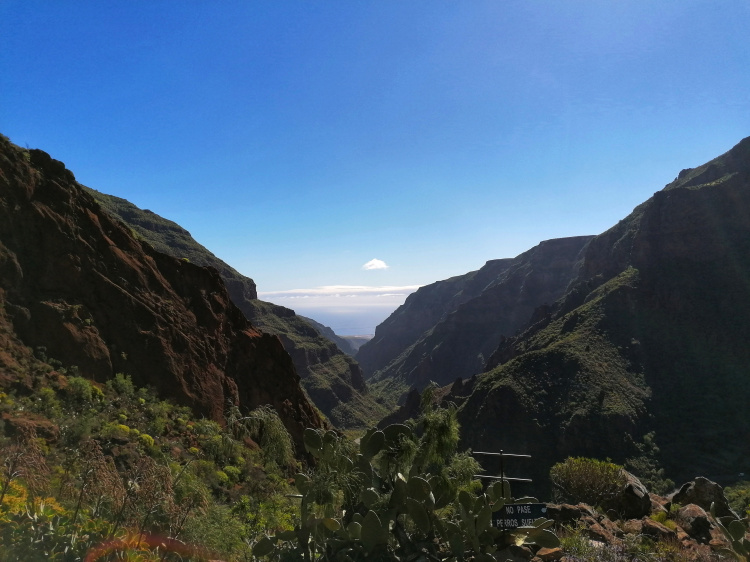
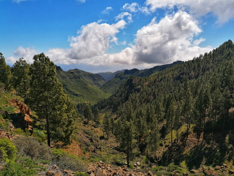
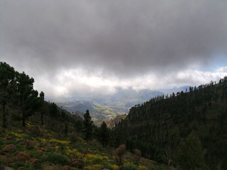
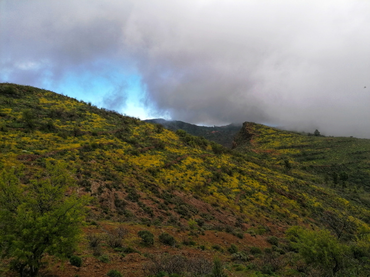
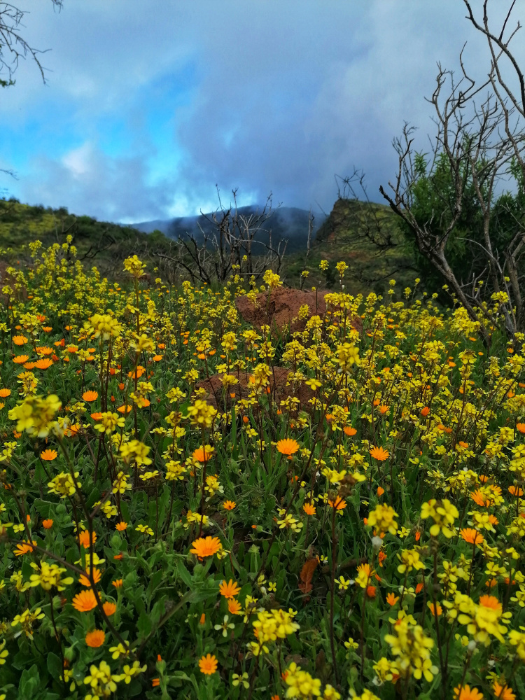
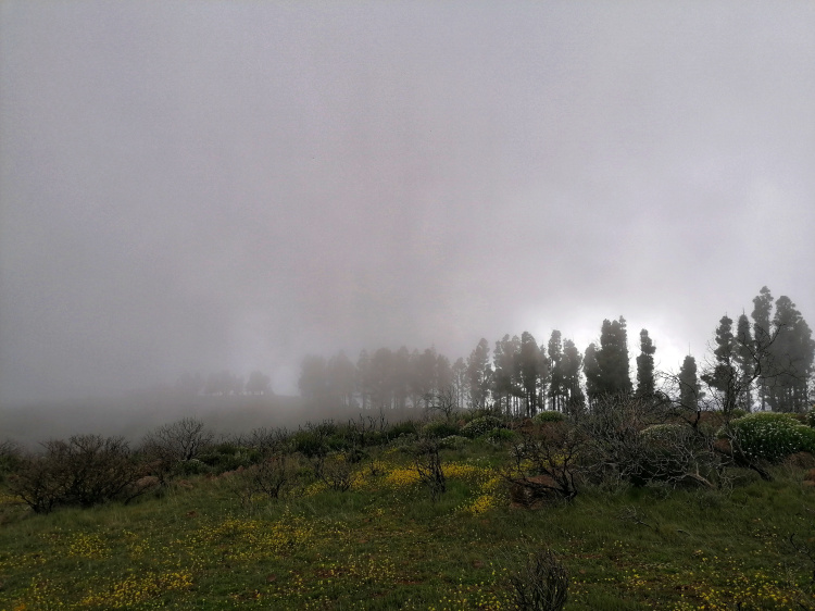
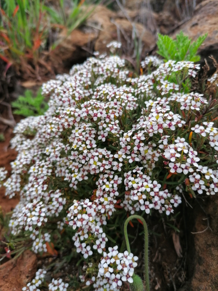
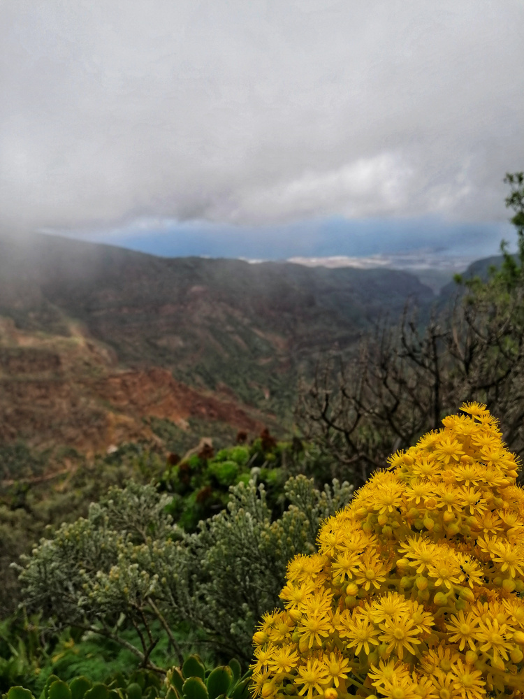
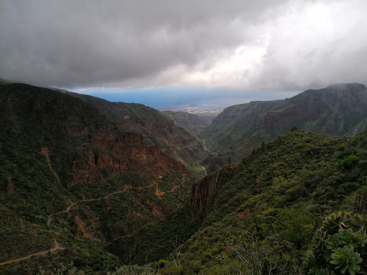
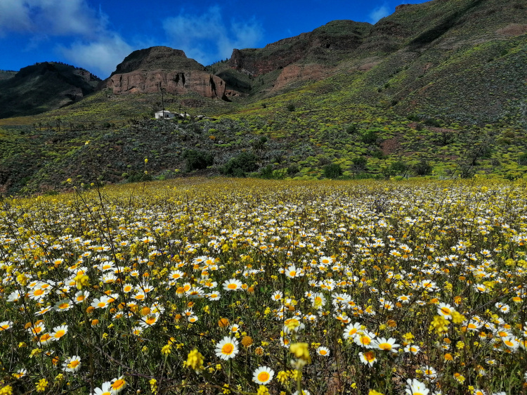
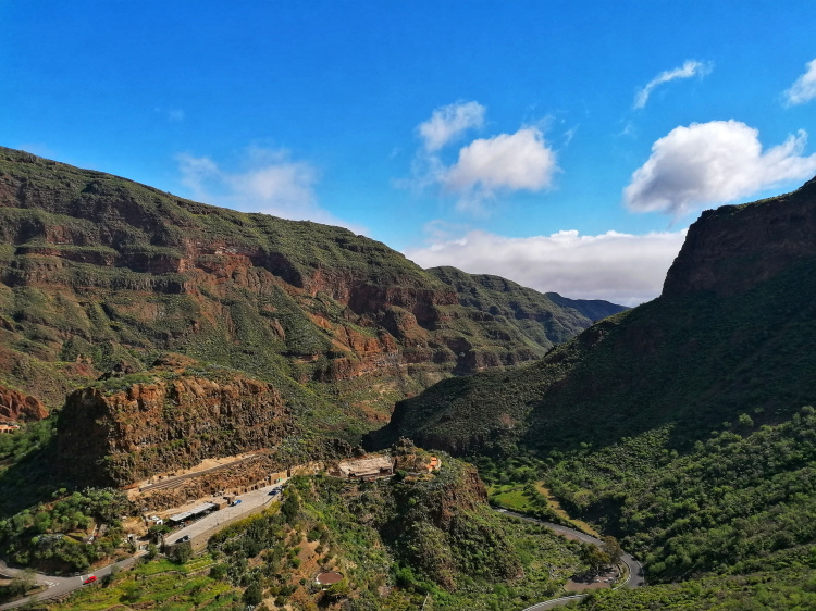
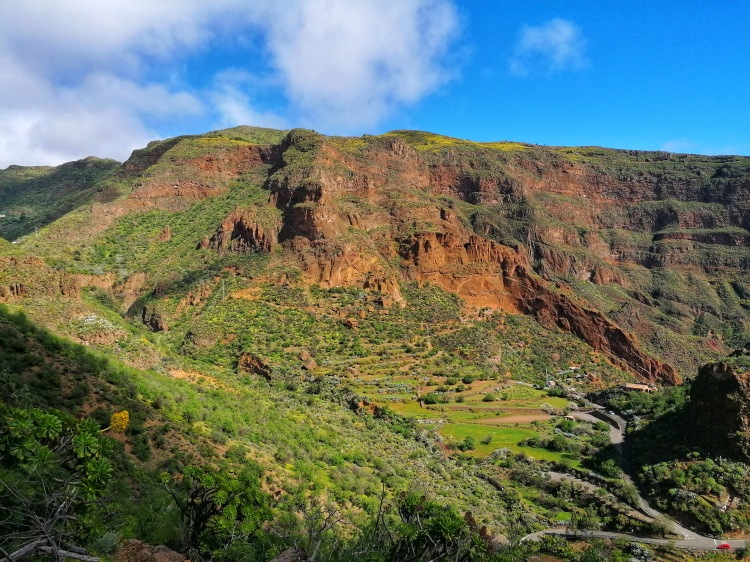
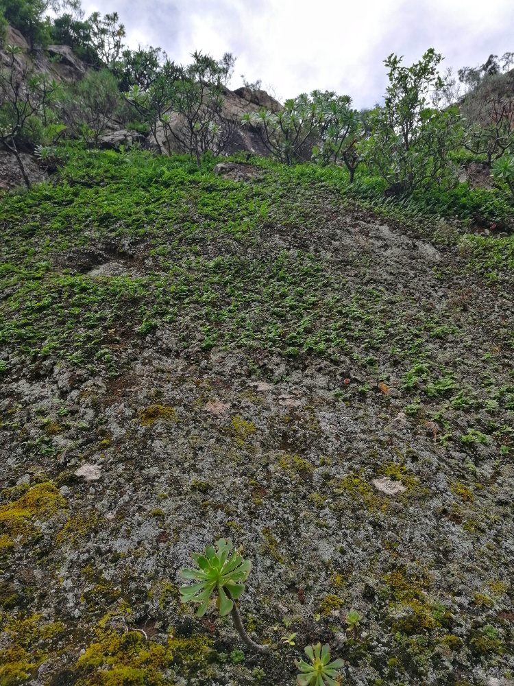
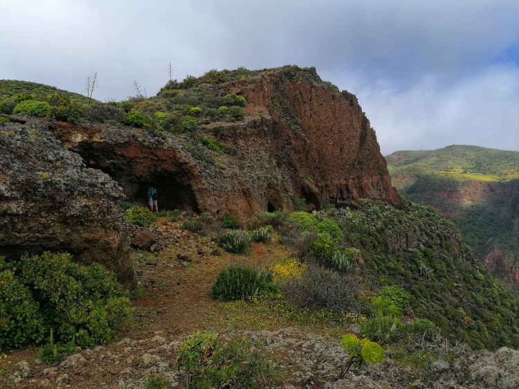
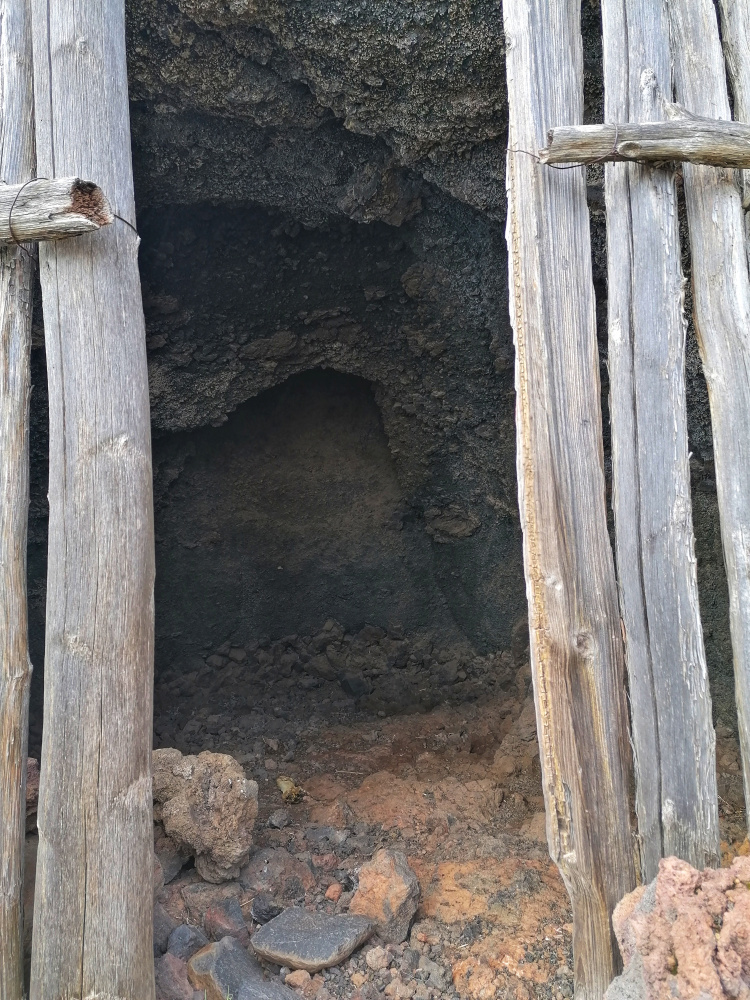
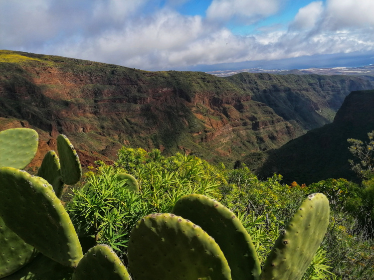
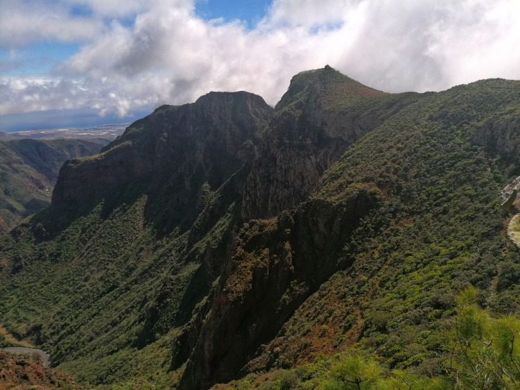
My name is Dean and I want to share my island adventures with you. I decided to start this blog after several friends suggested I start one after seeing the pictures I took during my days out exploring. Originally from the UK but now living on the beautiful island of Gran Canaria off the northwest coast of Africa. I moved to the island in February 2017 and it was the best decision of my life. I have a passion for adventure and love to explore in my free time. The best thing is to jump into your car, head for somewhere new, and see what you find! This is how I’ve discovered many of this island's secrets.

Picture of Me

gran canaria

Gran Canaria is a small Spanish island located in the Atlantic Ocean 150 kilometres off the northwestern coast of Africa. With an area of 1,560 km2 (602 sq. mi) and an altitude of 1,956 m (6,417 ft) at Morro de la Agujereada, Gran Canaria is the third-largest island of the Canarian archipelago in both area and altitude.

read more